Login

Si pozabil/a podatke za prijavo?

Cookies have to be accepted!
Your browser's cookie functionality is disabled. Please enable this functionality.

Not a member yet?

Register now
Login

Available for registred users only

Log in to use this feature.

Si pozabil/a podatke za prijavo?

Cookies have to be accepted!
Your browser's cookie functionality is disabled. Please enable this functionality.

Not a member yet?

Register now
Filter
Kategorije
Advanced filters
  • Dolžina (km)
  • Metri nadmorske višine
Shrani filter Reset filter

TrackRank

QRCode

Technical data

Dolžina48,7 km Metri nadmorske višine607 m Way down644 m Trajanje02:15 h:m Datum02.05.2010
Ocene Author Pokrajina Dejavnik zabave Kondicija Tehnika

Statistika

330 Pogledi Ocene 68 Prenosi Povprečje
Rate
  • List z izleti
  • Prihod
  • Prenosi

Nix besonderes, ist halt ne schöne Gegend, Trails scheinen allerdings ne Seltenheit, zumindest für Ortsfremde

Laut Vista HCX 439HM
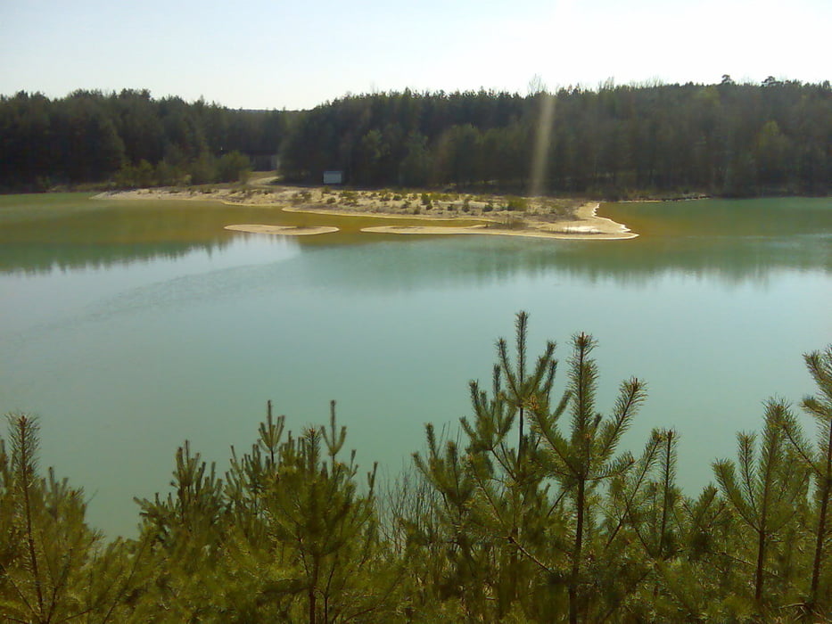
Galerija izletov

Zemljevid in višinski profil izleta

  • Open Street Map
  • Google
Minimum height 326 m Maximum height 481 m Prikaz podrobnosti

More about the tour author

Gexe
Member since 2010

Send private message

Komentarji

Poti GPS

Trackpoints
  • GPX / Garmin Map Source (gpx) download
  • TCX / Garmin Training Center® (tcx) download
  • CRS / Garmin Training Center® (crs) download
  • Google Earth (kml) download
  • G7ToWin (g7t) download
  • TTQV (trk) download
  • Overlay (ovl) download
  • Fugawi (txt) download
  • Kompass (DAV) Track (tk) download
  • List z izleti (pdf) download
  • Original file of the author (gpx) download

More about the tour author

Gexe
Member since 2010

Send private message
Share track
Add to my favorites
Remove from my favorites
Edit tags
My score
Rate
Izlet: Kreith-Theuern
Vrsta: Gorsko kolo
Dolžina: 48,7 km
Evaluated on:
Trajanje:
Day(s)
Hour(s)
Minute(s)
Ocena: Pokrajina Dejavnik zabave Kondicija Tehnika