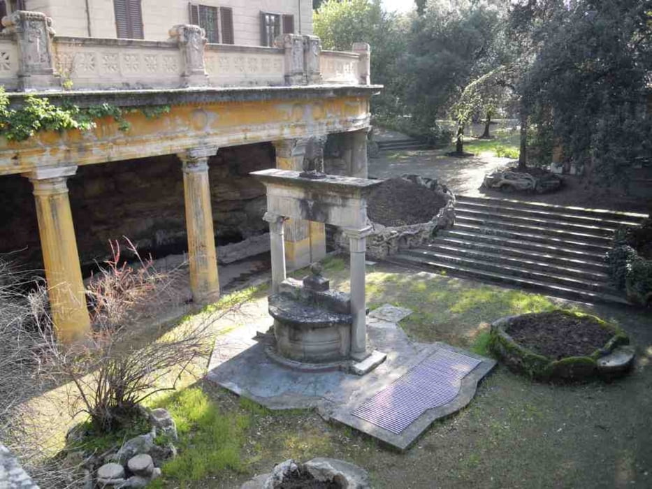
Eine kleine gemütliche aber stetig ansteigende Wanderung von Montecatini Terme nach Montecatini Alto. Rückweg gleiche Strecke oder eine auf Hinweistafeln vorgeschlagene andere.
Galerija izletov
Zemljevid in višinski profil izleta
Minimum height 49 m
Maximum height 258 m
Komentarji

Auf der Viale Amando Diaz entlang dem Parco Delle Terme zweigt 10m vor der Via Del Castello rechts ein schmaler Fahrweg ab. Hier ist der Start.
Poti GPS
Trackpoints-
GPX / Garmin Map Source (gpx) download
-
TCX / Garmin Training Center® (tcx) download
-
CRS / Garmin Training Center® (crs) download
-
Google Earth (kml) download
-
G7ToWin (g7t) download
-
TTQV (trk) download
-
Overlay (ovl) download
-
Fugawi (txt) download
-
Kompass (DAV) Track (tk) download
-
List z izleti (pdf) download
-
Original file of the author (gpx) download
Add to my favorites
Remove from my favorites
Edit tags
Open track
My score
Rate


