


La ruta parte de Calasparra y tras bajar hasta el rio Segura y atravesarlo por la pasarela, se llega hasta cerca de la estación del tren. Allí se coge el camino que trascurre por la cara norte de la sierra del Puerto. Este camino va en suave pero continuo ascenso hasta el kilómetro 20 de etapa.
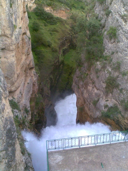
En ese momento se comienza un descenso precioso de unos 4 kilómetros hasta el pantano de Camarillas. Se sube entonces una cuesta corta y empinada, y se baja hasta el pueblo de Las Minas.
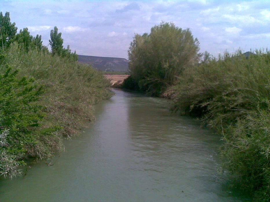
A partir de ahí el regreso se hace por la margen derecha del Segura, cruzándolo por el puente del Bayo y volviendo a Calasparra por la misma ruta que al principio.
Galerija izletov


Zemljevid in višinski profil izleta
Minimum height 259 m
Maximum height 617 m
More about the tour author

|
agustincb |
Komentarji

Poti GPS
Trackpoints-
GPX / Garmin Map Source (gpx) download
-
TCX / Garmin Training Center® (tcx) download
-
CRS / Garmin Training Center® (crs) download
-
Google Earth (kml) download
-
G7ToWin (g7t) download
-
TTQV (trk) download
-
Overlay (ovl) download
-
Fugawi (txt) download
-
Kompass (DAV) Track (tk) download
-
List z izleti (pdf) download
-
Original file of the author (gpx) download
More about the tour author
|
|
agustincb |
Add to my favorites
Remove from my favorites
Edit tags
Open track
My score
Rate