


Die Tour startet am Franziskanerweg in Kronach und folgt zuerst dem Fluß Haßlach.
Nach kurzer Überquerung der Bund4esstraße geht es dann in den Wald zur ersten Auffahrt nach Rotschreuth. Hier ist eine kleine Schiebepassage vor Rotschreuth enthalten.
Dann nach Gehülz und wieder in den Wald nach Häusles (gute Einkehrmöglichkeit!)
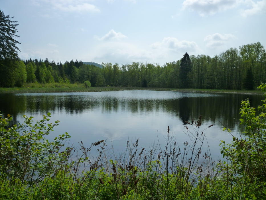
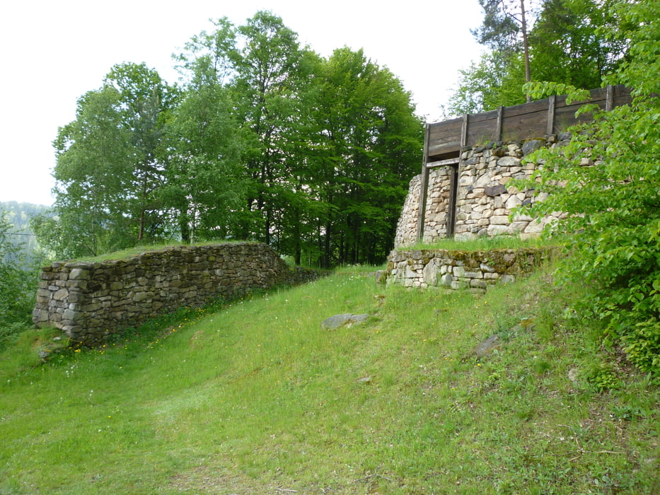
Weiter gehts Richtung Bächlein-Kaltenbrunn und dann zum zweiten Anstieg zur Heunischenburg.
Bei der Heunischenburg angelangt, hat man so ziemlich alle Steigungen hinter sich und kann gemütlich im Dobersgrund nach Kronach abfahren.
Galerija izletov


Zemljevid in višinski profil izleta
Minimum height 307 m
Maximum height 509 m
More about the tour author

|
thesirk |
Komentarji

Poti GPS
Trackpoints-
GPX / Garmin Map Source (gpx) download
-
TCX / Garmin Training Center® (tcx) download
-
CRS / Garmin Training Center® (crs) download
-
Google Earth (kml) download
-
G7ToWin (g7t) download
-
TTQV (trk) download
-
Overlay (ovl) download
-
Fugawi (txt) download
-
Kompass (DAV) Track (tk) download
-
List z izleti (pdf) download
-
Original file of the author (gpx) download
More about the tour author
|
|
thesirk |
Add to my favorites
Remove from my favorites
Edit tags
Open track
My score
Rate