Login

Si pozabil/a podatke za prijavo?

Cookies have to be accepted!
Your browser's cookie functionality is disabled. Please enable this functionality.

Not a member yet?

Register now
Login

Available for registred users only

Log in to use this feature.

Si pozabil/a podatke za prijavo?

Cookies have to be accepted!
Your browser's cookie functionality is disabled. Please enable this functionality.

Not a member yet?

Register now
Filter
Kategorije
Advanced filters
  • Dolžina (km)
  • Metri nadmorske višine
Shrani filter Reset filter

TrackRank

QRCode

Technical data

Dolžina39,6 km Metri nadmorske višine1146 m Way down1095 m Trajanje02:00 h:m Datum16.06.2004
Ocene Author Pokrajina Dejavnik zabave Kondicija Tehnika

Statistika

3290 Pogledi 1 Ocena 562 Prenosi 3.00 Povprečje
Rate
  • List z izleti
  • Prihod
  • Prenosi

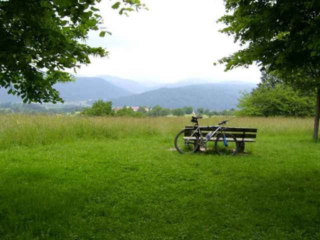
kleine spassige Runde rund um Schopfheim (vom Wetter diktiert)

ein paar Meter sind immer zugewachsen GPS hilft ;-)

Further information at

http://www.veloschopf.de

Galerija izletov

Zemljevid in višinski profil izleta

  • Open Street Map
  • Google
Minimum height 288 m Maximum height 2147483647 m Prikaz podrobnosti

More about the tour author

repairman
Member since 2004

Send private message

Komentarji

Gost on 14.06.2005

Die Trails waren zum Teil zugewuchert. Abzweige sind dadurch zum Teil kaum zu finden. Das Ganze hatte aber durchaus seinen Reiz.
Steinen ist erreichbar über A5 / A98 / B317

Poti GPS

Trackpoints
  • GPX / Garmin Map Source (gpx) download
  • TCX / Garmin Training Center® (tcx) download
  • CRS / Garmin Training Center® (crs) download
  • Google Earth (kml) download
  • G7ToWin (g7t) download
  • TTQV (trk) download
  • Overlay (ovl) download
  • Fugawi (txt) download
  • Kompass (DAV) Track (tk) download
  • List z izleti (pdf) download
  • Original file of the author (g7t) download

More about the tour author

repairman
Member since 2004

Send private message
Share track
Add to my favorites
Remove from my favorites
Edit tags
My score
Rate
Izlet: Hohe Flum/Entegast/Scheinberg
Vrsta: Gorsko kolo
Dolžina: 39,6 km
Evaluated on:
Trajanje:
Day(s)
Hour(s)
Minute(s)
Ocena: Pokrajina Dejavnik zabave Kondicija Tehnika