Login

Si pozabil/a podatke za prijavo?

Cookies have to be accepted!
Your browser's cookie functionality is disabled. Please enable this functionality.

Not a member yet?

Register now
Login

Available for registred users only

Log in to use this feature.

Si pozabil/a podatke za prijavo?

Cookies have to be accepted!
Your browser's cookie functionality is disabled. Please enable this functionality.

Not a member yet?

Register now
Filter
Kategorije
Advanced filters
  • Dolžina (km)
  • Metri nadmorske višine
Shrani filter Reset filter

TrackRank

QRCode

Technical data

Dolžina23,8 km Metri nadmorske višine1027 m Way down1038 m Trajanje02:47 h:m Datum06.06.2010
Ocene Author Pokrajina Dejavnik zabave Kondicija Tehnika

Statistika

697 Pogledi Ocene 107 Prenosi Povprečje
Rate
  • List z izleti
  • Prihod
  • Prenosi


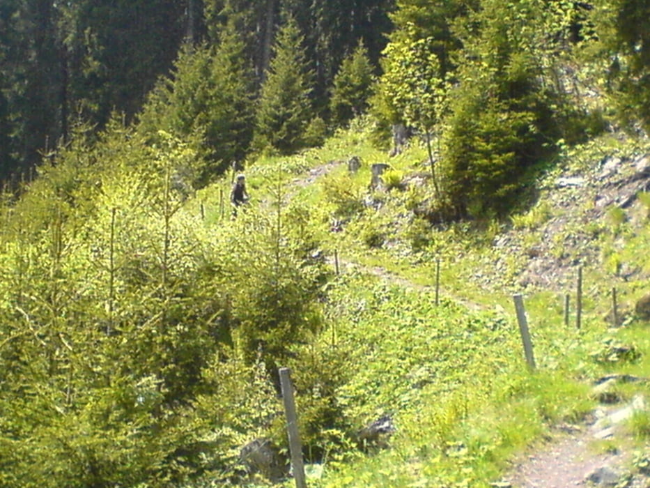
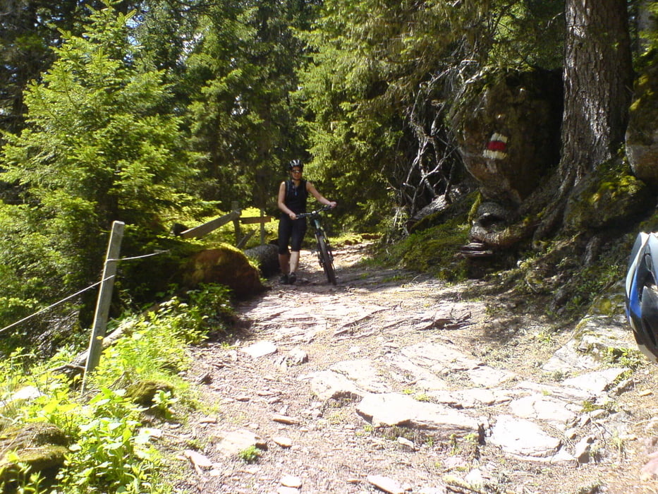
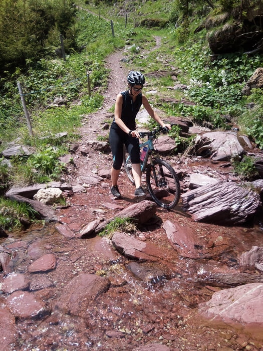
Am Anfang beginnt die Tour recht einfach.Die Auffahrt ist sehr gut um sich für die Abfahrt warm zu machen :-) Die geht über ein Belag auf Rasen, Steinen , Schotter und Wasser. Es geht teilweisse sehr steil hinunter über eine Art altes Bachbett. Nichts für (ganze) Anfänger.Nach dem Supi Trail geht weiter Berg ab bis nach Bergheim, ab dort den Rest auf der Strasse bis Tannheim.

Mega supiii (fand ich :-)) Testets selber....

Galerija izletov

Zemljevid in višinski profil izleta

  • Open Street Map
  • Google
Minimum height 974 m Maximum height 1887 m Prikaz podrobnosti

More about the tour author

olipeh
Member since 2008

Send private message

Komentarji

Poti GPS

Trackpoints
  • GPX / Garmin Map Source (gpx) download
  • TCX / Garmin Training Center® (tcx) download
  • CRS / Garmin Training Center® (crs) download
  • Google Earth (kml) download
  • G7ToWin (g7t) download
  • TTQV (trk) download
  • Overlay (ovl) download
  • Fugawi (txt) download
  • Kompass (DAV) Track (tk) download
  • List z izleti (pdf) download
  • Original file of the author (gpx) download

More about the tour author

olipeh
Member since 2008

Send private message
Share track
Add to my favorites
Remove from my favorites
Edit tags
My score
Rate
Izlet: Flums-Tannenheim Runde Schwere Abfahrt
Vrsta: Gorsko kolo
Dolžina: 23,8 km
Evaluated on:
Trajanje:
Day(s)
Hour(s)
Minute(s)
Ocena: Pokrajina Dejavnik zabave Kondicija Tehnika