


Rund um Leichlingen
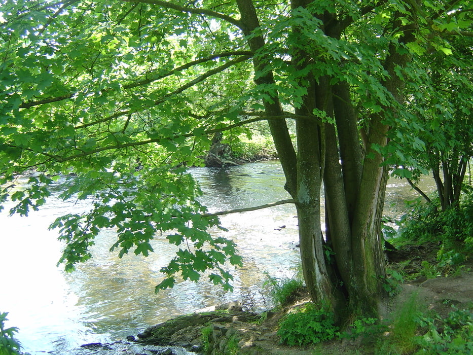
Sehr schöne, einache Tour, es geht hauptsächlich durch Wald und Feldern. Eine ganze Reihe von Einkehrmöglichkeiten sind Garant für einen schönen Nachmittag.
Gestartet wird die Tour in Leichlingen, Kirchstraße.
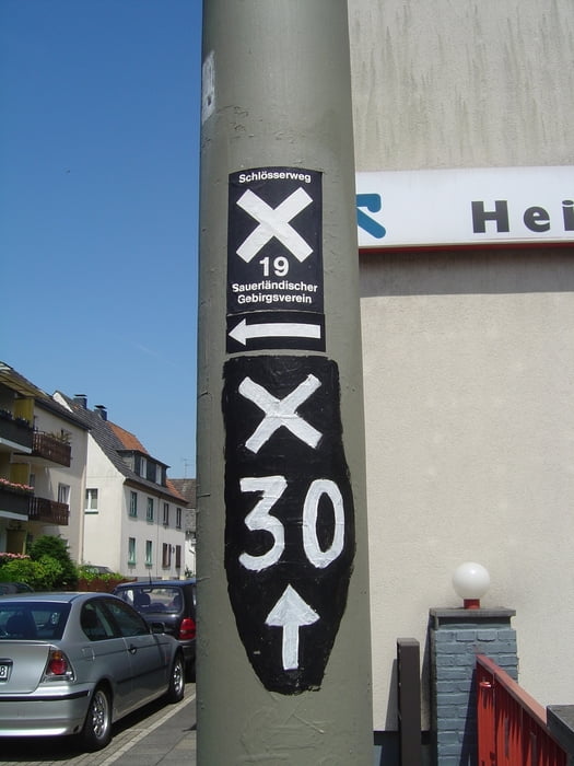
Von der Brücke "N" wupperaufwärts, in Grosse Landstr rechts, dann "N" und "A1" rechts bis Eickenberg, "S" bis Haasenmühle, mit K 1 über die Wupper, links in Fahrweg nach Nesselrath und rechts zum Altenhof, dahinter Aufstieg, auf der Höhe bis Bennert, mit Weg 5 (Raute) sowie "N" bis Bergerhof, Schmerbachtal hinab bis Eltersbach, rechts Hasensprungmühle, mit "A1" und "X30" zurück.
Further information at
Http://www.stadtbild-leichlingen.deGalerija izletov


Zemljevid in višinski profil izleta
Minimum height 38 m
Maximum height 129 m
More about the tour author
|
|
MYSTERIOUSXL |
Komentarji

Liechlingen liegt zwischen Leverkusen-Opladen und Solingen, von der A3 AS Opladen ausgeschildert.
Navigation: Leichlingen - Kirschstrasse; hier gibt es auch Parkplätze
Poti GPS
Trackpoints-
GPX / Garmin Map Source (gpx) download
-
TCX / Garmin Training Center® (tcx) download
-
CRS / Garmin Training Center® (crs) download
-
Google Earth (kml) download
-
G7ToWin (g7t) download
-
TTQV (trk) download
-
Overlay (ovl) download
-
Fugawi (txt) download
-
Kompass (DAV) Track (tk) download
-
List z izleti (pdf) download
-
Original file of the author (gpx) download
More about the tour author
|
|
MYSTERIOUSXL |
Add to my favorites
Remove from my favorites
Edit tags
Open track
My score
Rate