


Ausgangspunk und Ziel ist Wien Wienerfeld 10.Bezirk.
Entlang der Liesing über die Wienerhütte nach Laab im Walde, entlang der Bundesstraße bis zur rechten Abzweigung Richtung Heimbautal.
Oben am Hügel angekommen geht es links unter der Autobahn durch bis nach Neu Purkersdorf, dort fährt man einige Meter rechts, dann links unter der Eisenbahn durch, ab hier beginnt die Troppbergstrecke - die allerdings gut beschildert ist.
Die Siedlung Augustinerwald, verlang nach dem man eh schon müde ist, noch einmal alles von einem ab.
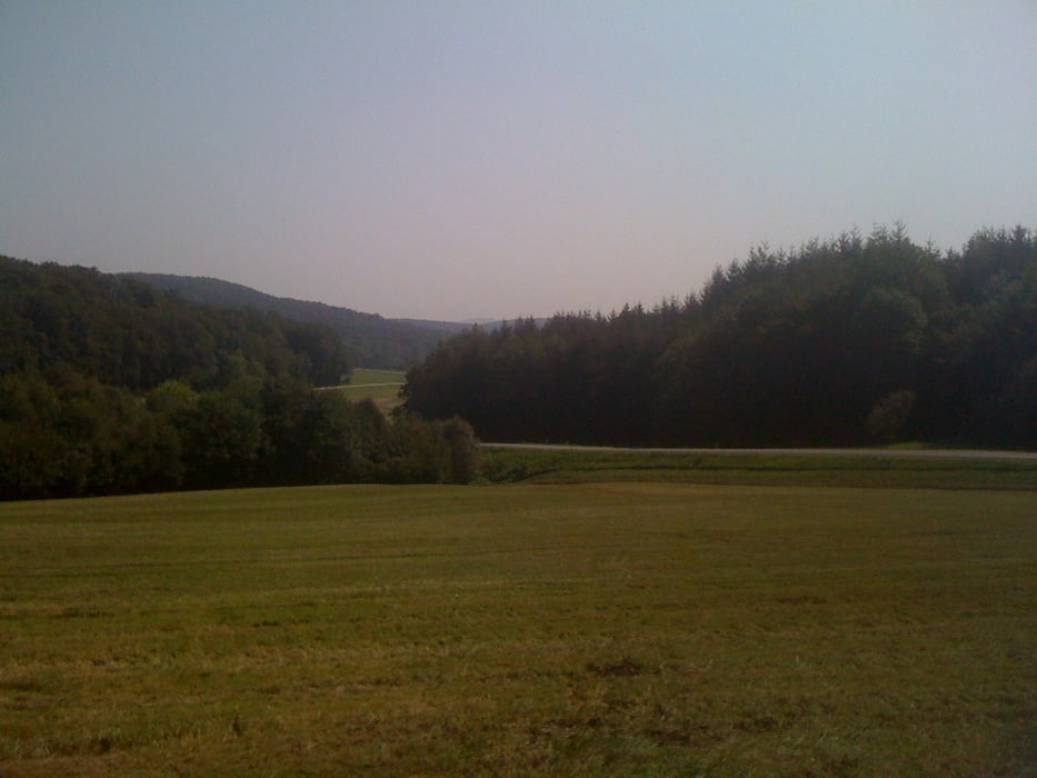
Galerija izletov


Zemljevid in višinski profil izleta
Minimum height 200 m
Maximum height 487 m
More about the tour author
|
|
pillow_62 |
Komentarji

Poti GPS
Trackpoints-
GPX / Garmin Map Source (gpx) download
-
TCX / Garmin Training Center® (tcx) download
-
CRS / Garmin Training Center® (crs) download
-
Google Earth (kml) download
-
G7ToWin (g7t) download
-
TTQV (trk) download
-
Overlay (ovl) download
-
Fugawi (txt) download
-
Kompass (DAV) Track (tk) download
-
List z izleti (pdf) download
-
Original file of the author (gpx) download
More about the tour author
|
|
pillow_62 |
Add to my favorites
Remove from my favorites
Edit tags
Open track
My score
Rate