
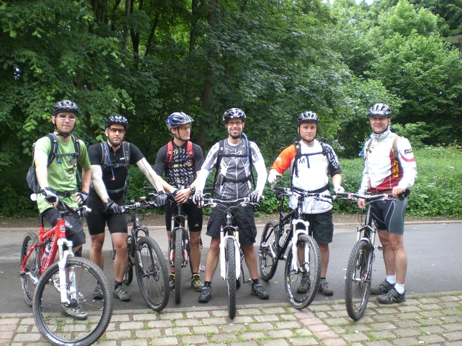

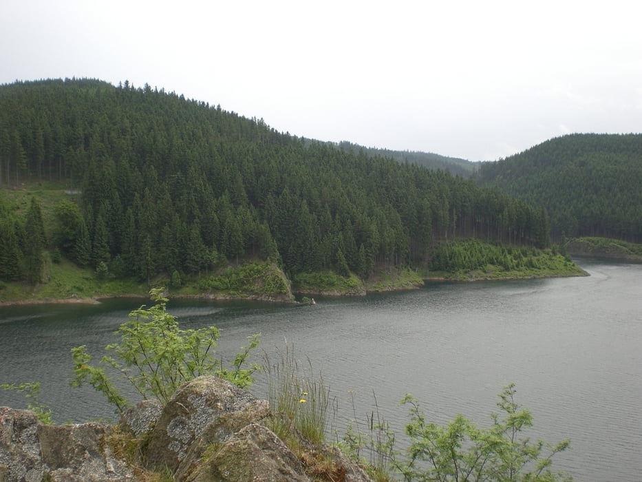
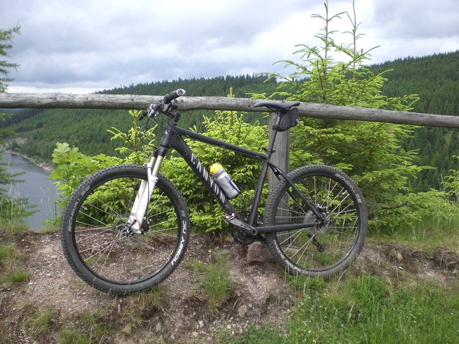
In Tabarz, zu Fuße des Inselsberges startend, führt uns die Route zunächst unterhalb des
Hauptkammes des Thüringer Waldes zu drei Talsperren, welche wir umrunden. Nach der
Auffahrt zum Rennsteig bei Oberhof folgen wir dem Höhenweg mir dem berühmten “R“ um
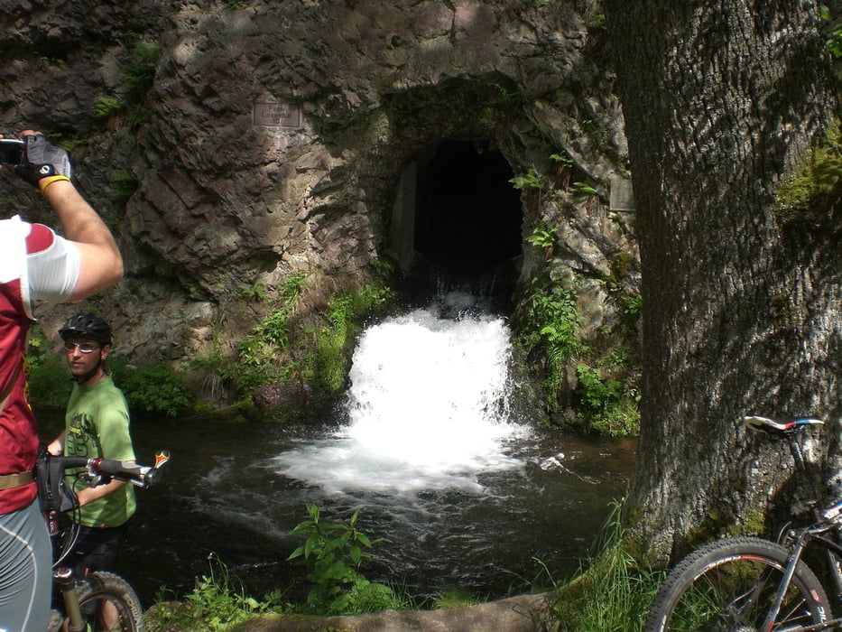
uns das Gipfelglück am Schneekopf zu verdienen. Schmale Pfade bestimmen den letzten
Teil der Tour bei der Abfahrt in Richtung Frauenwald. Im Biergarten des Gasthaus
Waldfrieden haben wir uns dann ein kühles Radler verdient. Die Höhepunkte des zweiten
Tages sind ein Badestopp im Lütsche-Stausee, der Bärenhöhle-Trail sowie die Auf- und
Abfahrt am Inselsberg. Es erwartet Sie also die volle Packung Bike-Spaß auf diese 120
Kilometern.
Further information at
http://www.tba-bike.de/Galerija izletov
Zemljevid in višinski profil izleta
Minimum height 423 m
Maximum height 958 m
More about the tour author
|
|
Wanierke |
Komentarji

Poti GPS
Trackpoints-
GPX / Garmin Map Source (gpx) download
-
TCX / Garmin Training Center® (tcx) download
-
CRS / Garmin Training Center® (crs) download
-
Google Earth (kml) download
-
G7ToWin (g7t) download
-
TTQV (trk) download
-
Overlay (ovl) download
-
Fugawi (txt) download
-
Kompass (DAV) Track (tk) download
-
List z izleti (pdf) download
-
Original file of the author (gpx) download
More about the tour author
|
|
Wanierke |
Add to my favorites
Remove from my favorites
Edit tags
Open track
My score
Rate