


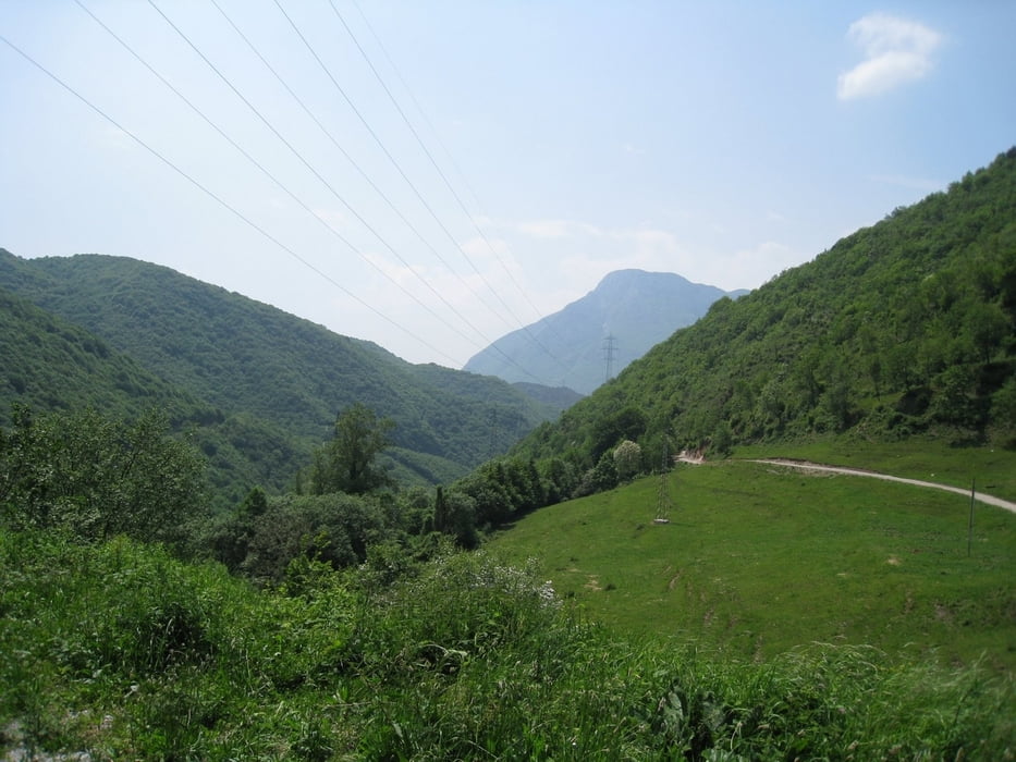
Start Ziel: Gargnano / Gardasee Parkplatz auf am ende des Ortes, Innenhof einer Industrieanlage (Kleines gelbes Schild an der Straße)
Der Track entspricht nur bis Bocca Paolone der Tour 27 !!!!
In Costa kann man eine Pause einlegen und nen Cappuccino geniesen. Trinkflaschen füllen nicht vergessen :)
Leider haben wir bei Bocca Paolone ein abzweigung verpasst und sind auf dem Schotterweg weiter bergauf bis Passo Dell Ere weiter gefahren. Dann haben wir uns entschieden den Weg 14 als abkürzung zu nehmen. Der Weg ist als Wanderweg gekennzeichnet.
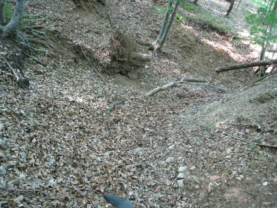
Abwärts geht es auf einem Downhillpfad (Wanderweg), hiert ist schon etwas Fahrtechnik gefordert !!
Teilweise kurze Tragepasagen !!!
Galerija izletov


Zemljevid in višinski profil izleta
Minimum height 65 m
Maximum height 1138 m
More about the tour author
|
|
HeliBiker |
Komentarji

Mit dem Auto von Riva / Torbole die Staße am See entlang bis Gargnano.
Poti GPS
Trackpoints-
GPX / Garmin Map Source (gpx) download
-
TCX / Garmin Training Center® (tcx) download
-
CRS / Garmin Training Center® (crs) download
-
Google Earth (kml) download
-
G7ToWin (g7t) download
-
TTQV (trk) download
-
Overlay (ovl) download
-
Fugawi (txt) download
-
Kompass (DAV) Track (tk) download
-
List z izleti (pdf) download
-
Original file of the author (gpx) download
More about the tour author
|
|
HeliBiker |
Add to my favorites
Remove from my favorites
Edit tags
Open track
My score
Rate