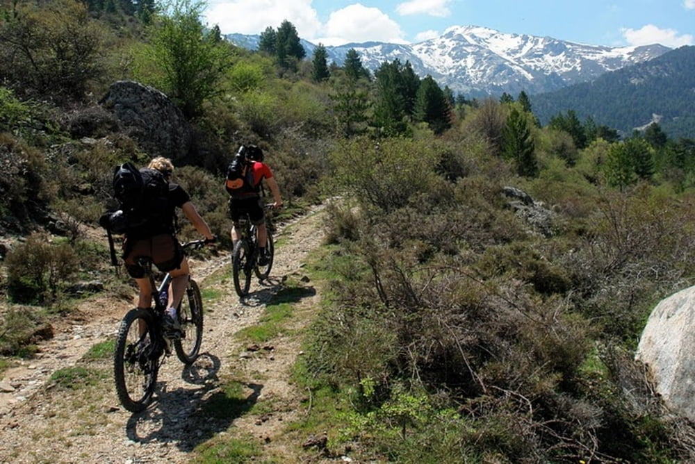
This tour starts at the dam of lake Calacuccia. Ascent on beautiful unpaved road, mostly not steep. Beautiful view of mountains. On top you have two possibilities: descent on the same road as ascent (easy) or downhil on very rocky single trail (difficult but no precipice)
Galerija izletov
Zemljevid in višinski profil izleta
Minimum height 794 m
Maximum height 1602 m
Komentarji

Poti GPS
Trackpoints-
GPX / Garmin Map Source (gpx) download
-
TCX / Garmin Training Center® (tcx) download
-
CRS / Garmin Training Center® (crs) download
-
Google Earth (kml) download
-
G7ToWin (g7t) download
-
TTQV (trk) download
-
Overlay (ovl) download
-
Fugawi (txt) download
-
Kompass (DAV) Track (tk) download
-
List z izleti (pdf) download
-
Original file of the author (gpx) download
Add to my favorites
Remove from my favorites
Edit tags
Open track
My score
Rate

