Login

Si pozabil/a podatke za prijavo?

Cookies have to be accepted!
Your browser's cookie functionality is disabled. Please enable this functionality.

Not a member yet?

Register now
Login

Available for registred users only

Log in to use this feature.

Si pozabil/a podatke za prijavo?

Cookies have to be accepted!
Your browser's cookie functionality is disabled. Please enable this functionality.

Not a member yet?

Register now
Filter
Kategorije
Advanced filters
  • Dolžina (km)
  • Metri nadmorske višine
Shrani filter Reset filter

TrackRank

QRCode

Technical data

Dolžina28,2 km Metri nadmorske višine1086 m Way down1076 m Trajanje03:00 h:m Datum24.06.2010
Ocene Author Pokrajina Dejavnik zabave Kondicija Tehnika

Statistika

356 Pogledi Ocene 36 Prenosi Povprečje
Rate
  • List z izleti
  • Prihod
  • Prenosi


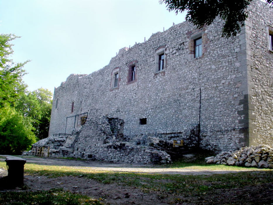
Verteskozma - Vitanyvar (ruin) - Vargesztes (castle) - Verteskozma

Galerija izletov

Zemljevid in višinski profil izleta

  • Open Street Map
  • Google
Minimum height 292 m Maximum height 517 m Prikaz podrobnosti

More about the tour author

joe007
Member since 2009

Send private message

Komentarji

Verteskozma - Vitanyvar: Z

Vitanyvar - Szarvas-kut: Z, gravel road

Szarvaskut - Vargesztes : K, K+

Vargesztes - Verteskozma: S(square)

Poti GPS

Trackpoints
  • GPX / Garmin Map Source (gpx) download
  • TCX / Garmin Training Center® (tcx) download
  • CRS / Garmin Training Center® (crs) download
  • Google Earth (kml) download
  • G7ToWin (g7t) download
  • TTQV (trk) download
  • Overlay (ovl) download
  • Fugawi (txt) download
  • Kompass (DAV) Track (tk) download
  • List z izleti (pdf) download
  • Original file of the author (gpx) download

More about the tour author

joe007
Member since 2009

Send private message
Share track
Add to my favorites
Remove from my favorites
Edit tags
My score
Rate
Izlet: Vertes castle tour (Vitanyvar, Vargesztes)
Vrsta: Gorsko kolo
Dolžina: 28,2 km
Evaluated on:
Trajanje:
Day(s)
Hour(s)
Minute(s)
Ocena: Pokrajina Dejavnik zabave Kondicija Tehnika