Dies ist der Weg von Rotenburg nach Obersuhl mal etwas anders.
Zunächst bleibt alles wie gehabt, Rotenburg - Bebra - Weiterode - Ronshausen und weiter in Richtung Wildeck.
Die Tour ändert sich vor Hönebach. Im Waldan der Kreuzung vor einer kleinen Hütte geht es links ab in Richtung Ulfe-Quelle statt weiter in Richtung Hönebach!
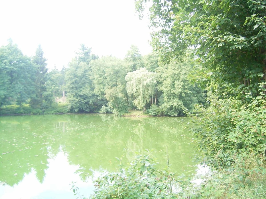
Nun geht's durch eine herrliche Landschaft bergauf. Bis auf der Höhe - dem Holzbahnhof - geht es über den Inselsteich nach Obersuhl.
Galerija izletov
Zemljevid in višinski profil izleta
Minimum height 184 m
Maximum height 404 m
Komentarji

ebenfalls
Poti GPS
Trackpoints-
GPX / Garmin Map Source (gpx) download
-
TCX / Garmin Training Center® (tcx) download
-
CRS / Garmin Training Center® (crs) download
-
Google Earth (kml) download
-
G7ToWin (g7t) download
-
TTQV (trk) download
-
Overlay (ovl) download
-
Fugawi (txt) download
-
Kompass (DAV) Track (tk) download
-
List z izleti (pdf) download
-
Original file of the author (gpx) download
Add to my favorites
Remove from my favorites
Edit tags
Open track
My score
Rate


