

Der Ausgangspunkt ist über die Landesstrasse nach Fusch zu erreichen . Paralell zu dieser verläuft der Radweg von Bruck an der Glocknerstr. bis nach Fusch.
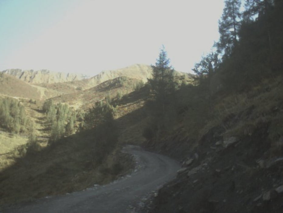
Schöne Einfahrt in das versteckte Tal. Die Forststaße verläuft in Serpentinen bis man denTalboden erreicht. Von dort gehts flach an div. Almhütten und Butterhirschen ( Kühe ) vorbei bis zum Talschluss. Von dort sind es noch ein paar hundert Höhenmeter bis man das Ziel, die Linzer Alm erreicht.
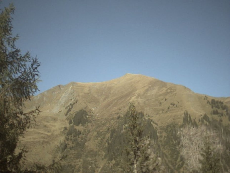
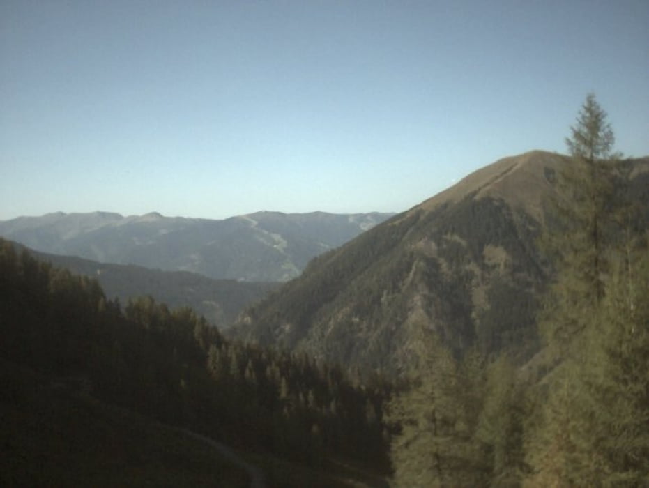
Von dort hat man einen wunderschönen Blick auf die Bergwelt der Hohen Tauern.
Galerija izletov
Zemljevid in višinski profil izleta
Minimum height 813 m
Maximum height 1727 m
More about the tour author

|
freddyjonny |
Komentarji

Poti GPS
Trackpoints-
GPX / Garmin Map Source (gpx) download
-
TCX / Garmin Training Center® (tcx) download
-
CRS / Garmin Training Center® (crs) download
-
Google Earth (kml) download
-
G7ToWin (g7t) download
-
TTQV (trk) download
-
Overlay (ovl) download
-
Fugawi (txt) download
-
Kompass (DAV) Track (tk) download
-
List z izleti (pdf) download
-
Original file of the author (tcx) download
More about the tour author
|
|
freddyjonny |
Add to my favorites
Remove from my favorites
Edit tags
Open track
My score
Rate