Login

Si pozabil/a podatke za prijavo?

Cookies have to be accepted!
Your browser's cookie functionality is disabled. Please enable this functionality.

Not a member yet?

Register now
Login

Available for registred users only

Log in to use this feature.

Si pozabil/a podatke za prijavo?

Cookies have to be accepted!
Your browser's cookie functionality is disabled. Please enable this functionality.

Not a member yet?

Register now
Filter
Kategorije
Advanced filters
  • Dolžina (km)
  • Metri nadmorske višine
Shrani filter Reset filter

TrackRank

QRCode

Technical data

Dolžina39,3 km Metri nadmorske višine843 m Way down890 m Trajanje03:47 h:m Datum28.06.2010
Ocene Author Pokrajina Dejavnik zabave Kondicija Tehnika

Statistika

327 Pogledi Ocene 18 Prenosi Povprečje
Rate
  • List z izleti
  • Prihod
  • Prenosi

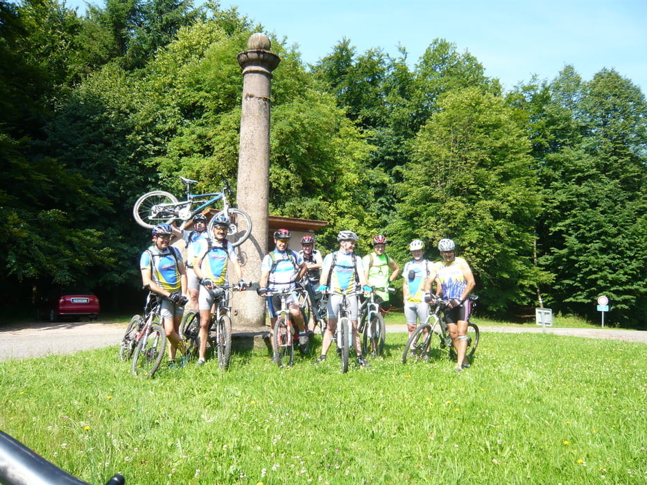
Départ de Achen pour rejoindre l'étang de Ramstein à Baerenthal.

Further information at

http://rouelibreachen.e-monsite.com/

Galerija izletov

Zemljevid in višinski profil izleta

  • Open Street Map
  • Google
Minimum height 202 m Maximum height 426 m Prikaz podrobnosti

More about the tour author

pascal.67
Member since 2008

Send private message

Komentarji

Départ au crédit-mutuel de Achen.

Poti GPS

Trackpoints
  • GPX / Garmin Map Source (gpx) download
  • TCX / Garmin Training Center® (tcx) download
  • CRS / Garmin Training Center® (crs) download
  • Google Earth (kml) download
  • G7ToWin (g7t) download
  • TTQV (trk) download
  • Overlay (ovl) download
  • Fugawi (txt) download
  • Kompass (DAV) Track (tk) download
  • List z izleti (pdf) download
  • Original file of the author (gpx) download

More about the tour author

pascal.67
Member since 2008

Send private message
Share track
Add to my favorites
Remove from my favorites
Edit tags
My score
Rate
Izlet: Pique-Nique Baerenthal
Vrsta: Gorsko kolo
Dolžina: 39,3 km
Evaluated on:
Trajanje:
Day(s)
Hour(s)
Minute(s)
Ocena: Pokrajina Dejavnik zabave Kondicija Tehnika