


Wer hätte das gedacht. Eigentlich wollte ich an diesem schwülen Nachmittag mir nur kurz die Beine vertreten.
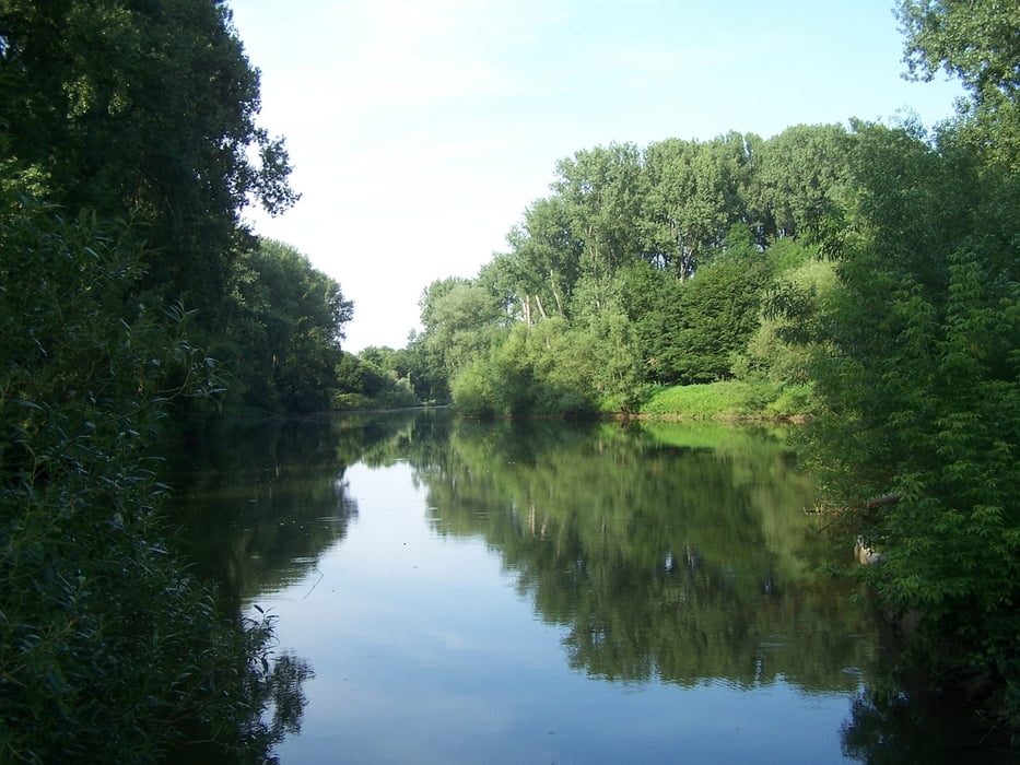
Also raus au dem Hotel und mal zum Rhein. Und plötzlich bin ich in den Talauen von Rhein und Sieg unterwegs. Supertolle Rad- und Wanderwege wechseln sich mit schmalen Wegen durch Brennesselwälder ab. Und überall pfeifen die Vögel um die Wette.
Klasse!
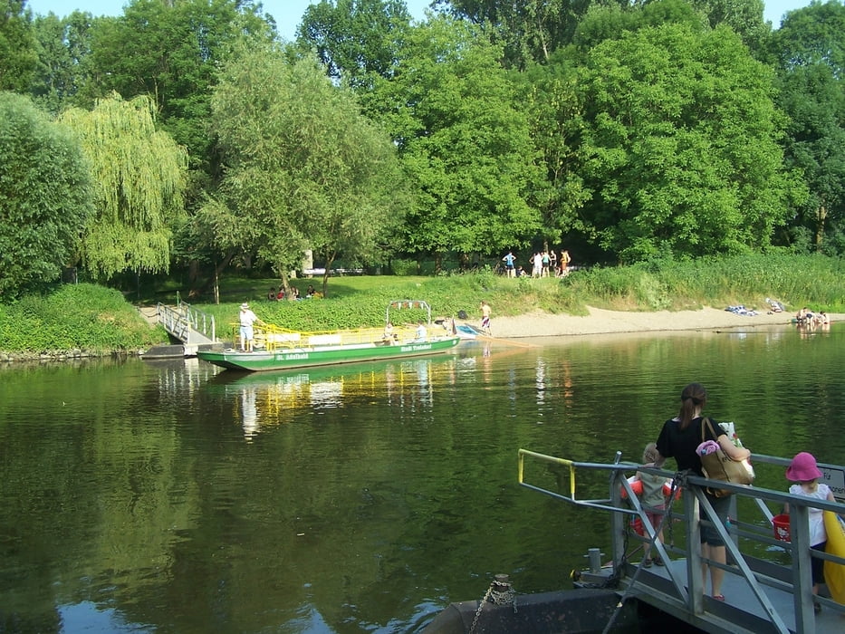
Besonderes Bonbon. Die Siegfähre für Radfahrer und Fußgänger. Einmal "Hol über!" kostet 50 Cent. Weil der Fährmann aber um 19:00 Uhr aufhört darf dann die Sieg durchwatet werden. Das macht Spass und geht super. Das Wasser war etwas mehr als knietief und herrlich erfrischend.
Einziger Wermutstropfen. Ich bin aus Versehen 1 km neben der Straße hergelaufen.
Aber sonst war es super schön.
Further information at
http://de.wikipedia.org/wiki/Sieg_%28Fluss%29Galerija izletov


Zemljevid in višinski profil izleta
Minimum height 42 m
Maximum height 58 m
More about the tour author
|
|
Pheinz |
Komentarji

Vom Hotel "Zur Börsch" geht es direkt los.
Poti GPS
Trackpoints-
GPX / Garmin Map Source (gpx) download
-
TCX / Garmin Training Center® (tcx) download
-
CRS / Garmin Training Center® (crs) download
-
Google Earth (kml) download
-
G7ToWin (g7t) download
-
TTQV (trk) download
-
Overlay (ovl) download
-
Fugawi (txt) download
-
Kompass (DAV) Track (tk) download
-
List z izleti (pdf) download
-
Original file of the author (gpx) download
More about the tour author
|
|
Pheinz |
Add to my favorites
Remove from my favorites
Edit tags
Open track
My score
Rate