
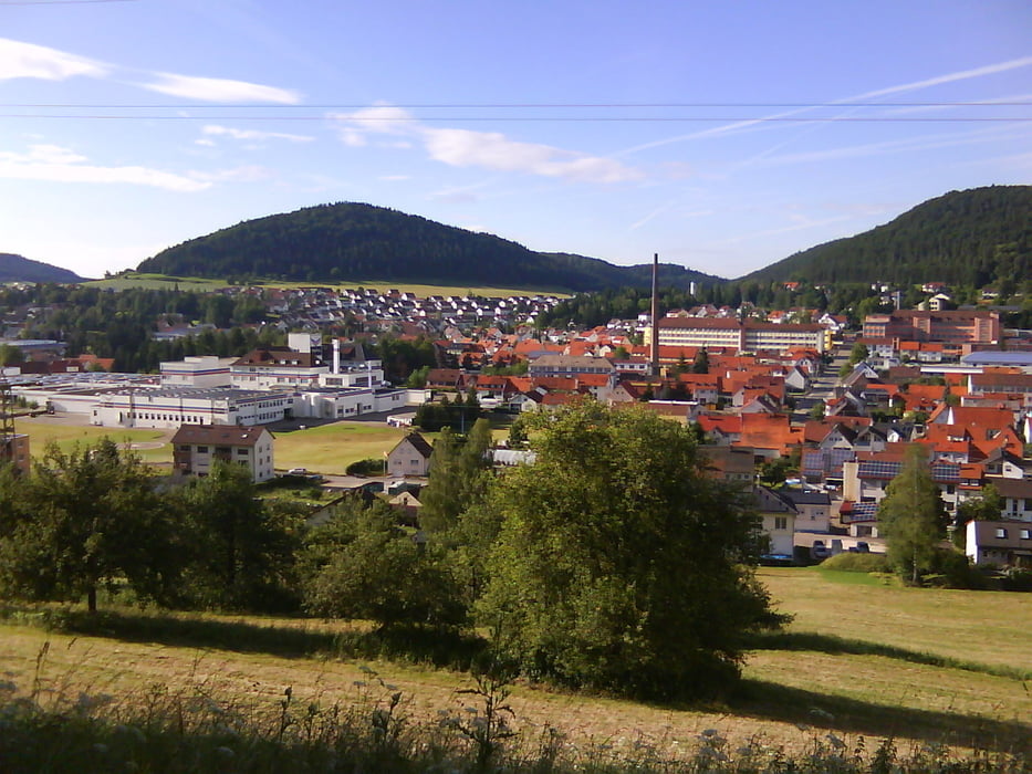

In großen Teilen die neue Strecke der Tour der Burladingen. Leider stimmt das Höhenprofil aufgrund Nachbearbeitung nicht. Am Anfang gibt es keine so starkes Gefälle und Steigung. Höhenmeter Gesamt ca. 500 Meter
Zemljevid in višinski profil izleta
Minimum height 437 m
Maximum height 896 m
More about the tour author

|
mareb1972 |
Komentarji

Start / Ziel Ev. Kirche, Parkmöglichkeiten vorhanden.
Poti GPS
Trackpoints-
GPX / Garmin Map Source (gpx) download
-
TCX / Garmin Training Center® (tcx) download
-
CRS / Garmin Training Center® (crs) download
-
Google Earth (kml) download
-
G7ToWin (g7t) download
-
TTQV (trk) download
-
Overlay (ovl) download
-
Fugawi (txt) download
-
Kompass (DAV) Track (tk) download
-
List z izleti (pdf) download
-
Original file of the author (gpx) download
More about the tour author
|
|
mareb1972 |
Add to my favorites
Remove from my favorites
Edit tags
Open track
My score
Rate