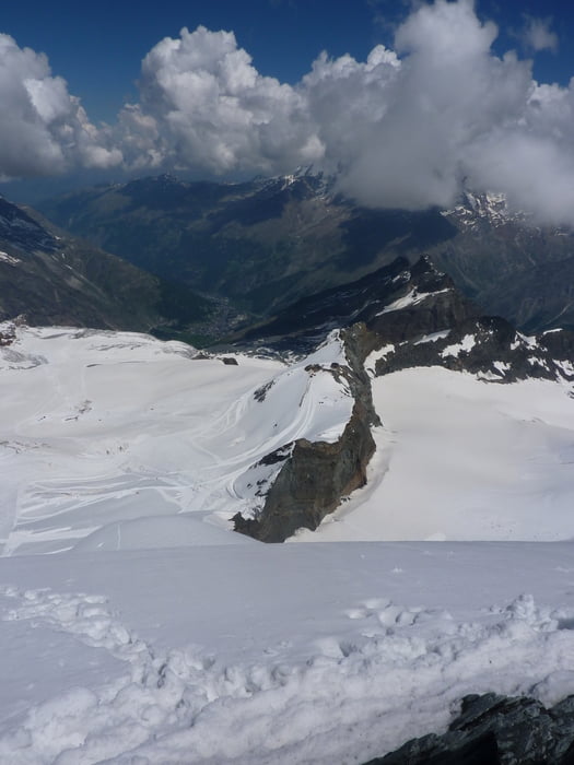
Einsteiger-Hochtour auf den Allalin bei Saas-Fee - immerhin ein 4000er.
Von Saas-Fee gehts bequem mit der Bergbahn bis auf 3500 m. Von dort erst mal nördlich zur Westschulter und über diese hinauf dann zum Allalin.
Rückweg auf dem gleichen Weg - der Track geht dann noch weiter zur Längfluhhütte, die als idealer Standort für weitere Hochtouren in diesem Gebiet dient.
Further information at
http://www.saas-fee.chGalerija izletov
Zemljevid in višinski profil izleta
Minimum height 2887 m
Maximum height 4036 m
Komentarji

Mit SBB und Postauto nach Saas-Fee. Alternativ mit dem Auto
Poti GPS
Trackpoints-
GPX / Garmin Map Source (gpx) download
-
TCX / Garmin Training Center® (tcx) download
-
CRS / Garmin Training Center® (crs) download
-
Google Earth (kml) download
-
G7ToWin (g7t) download
-
TTQV (trk) download
-
Overlay (ovl) download
-
Fugawi (txt) download
-
Kompass (DAV) Track (tk) download
-
List z izleti (pdf) download
-
Original file of the author (gpx) download
Add to my favorites
Remove from my favorites
Edit tags
Open track
My score
Rate


