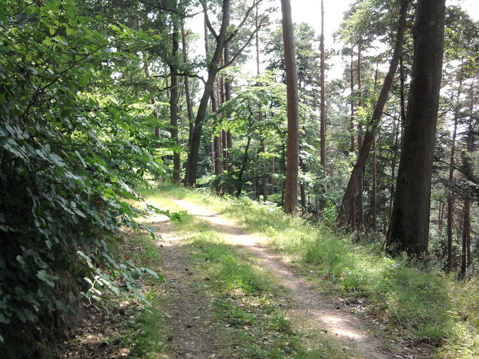
Die Tour geht vom Parkplatz "Hintere Heide" durch den Wald stetig steigend rund um den Zooneberg auf die Hochmark. Hier ist offenes Gelände mit schönen Fernblicken. Am Wochenende kann man auf der Hochmark einkehren.
Galerija izletov
Zemljevid in višinski profil izleta
Minimum height 240 m
Maximum height 402 m
Komentarji

Mit dem Bus von Trier Hbf zur "Hinteren Heide"
Poti GPS
Trackpoints-
GPX / Garmin Map Source (gpx) download
-
TCX / Garmin Training Center® (tcx) download
-
CRS / Garmin Training Center® (crs) download
-
Google Earth (kml) download
-
G7ToWin (g7t) download
-
TTQV (trk) download
-
Overlay (ovl) download
-
Fugawi (txt) download
-
Kompass (DAV) Track (tk) download
-
List z izleti (pdf) download
-
Original file of the author (gpx) download
Add to my favorites
Remove from my favorites
Edit tags
Open track
My score
Rate


