Login

Si pozabil/a podatke za prijavo?

Cookies have to be accepted!
Your browser's cookie functionality is disabled. Please enable this functionality.

Not a member yet?

Register now
Login

Available for registred users only

Log in to use this feature.

Si pozabil/a podatke za prijavo?

Cookies have to be accepted!
Your browser's cookie functionality is disabled. Please enable this functionality.

Not a member yet?

Register now
Filter
Kategorije
Advanced filters
  • Dolžina (km)
  • Metri nadmorske višine
Shrani filter Reset filter

TrackRank

QRCode

Technical data

Dolžina20,7 km Metri nadmorske višine150 m Way down165 m Trajanje01:00 h:m Datum25.07.2010
Ocene Author User Pokrajina Dejavnik zabave Kondicija Tehnika

Statistika

163 Pogledi Ocene 18 Prenosi Povprečje
Rate
  • List z izleti
  • Prihod
  • Prenosi

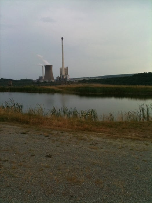
Leichte Traningstour.

Viel Straße und Waldwege, keine Trails. Auch bei schlechtem Wetter gut befahrbar.

Further information at

http://www.helmstedt.de

Galerija izletov

Zemljevid in višinski profil izleta

  • Open Street Map
  • Google
Minimum height 159 m Maximum height 209 m Prikaz podrobnosti

More about the tour author

oliverstadt
Member since 2010

Send private message

Komentarji

Abfahrt und Ankunft ab Helmstedt Zentrum oder Bahnhof.

Poti GPS

Trackpoints
  • GPX / Garmin Map Source (gpx) download
  • TCX / Garmin Training Center® (tcx) download
  • CRS / Garmin Training Center® (crs) download
  • Google Earth (kml) download
  • G7ToWin (g7t) download
  • TTQV (trk) download
  • Overlay (ovl) download
  • Fugawi (txt) download
  • Kompass (DAV) Track (tk) download
  • List z izleti (pdf) download
  • Original file of the author (gpx) download

More about the tour author

oliverstadt
Member since 2010

Send private message
Share track
Add to my favorites
Remove from my favorites
Edit tags
My score
Rate
Izlet: Wald und Bergbau
Vrsta: Gorsko kolo
Dolžina: 20,7 km
Evaluated on:
Trajanje:
Day(s)
Hour(s)
Minute(s)
Ocena: Pokrajina Dejavnik zabave Kondicija Tehnika