Login

Si pozabil/a podatke za prijavo?

Cookies have to be accepted!
Your browser's cookie functionality is disabled. Please enable this functionality.

Not a member yet?

Register now
Login

Available for registred users only

Log in to use this feature.

Si pozabil/a podatke za prijavo?

Cookies have to be accepted!
Your browser's cookie functionality is disabled. Please enable this functionality.

Not a member yet?

Register now
Filter
Kategorije
Advanced filters
  • Dolžina (km)
  • Metri nadmorske višine
Shrani filter Reset filter

TrackRank

QRCode

Technical data

Dolžina249,3 km Metri nadmorske višine2945 m Way down2523 m Trajanje4 days 0 h Datum28.07.2010
Ocene Author Pokrajina Dejavnik zabave Kondicija Tehnika

Statistika

297 Pogledi Ocene 18 Prenosi Povprečje
Rate
  • List z izleti
  • Prihod
  • Prenosi

Sehr schöne 4Tagestour über Blaubeuren  auf der schwäbischen Alb weiter nach Memmingen und Marktoberdorf  bis Rieden am Forggensee.

Die schwäbische Alb und das Bajuwarische Allgäu at its Best!!
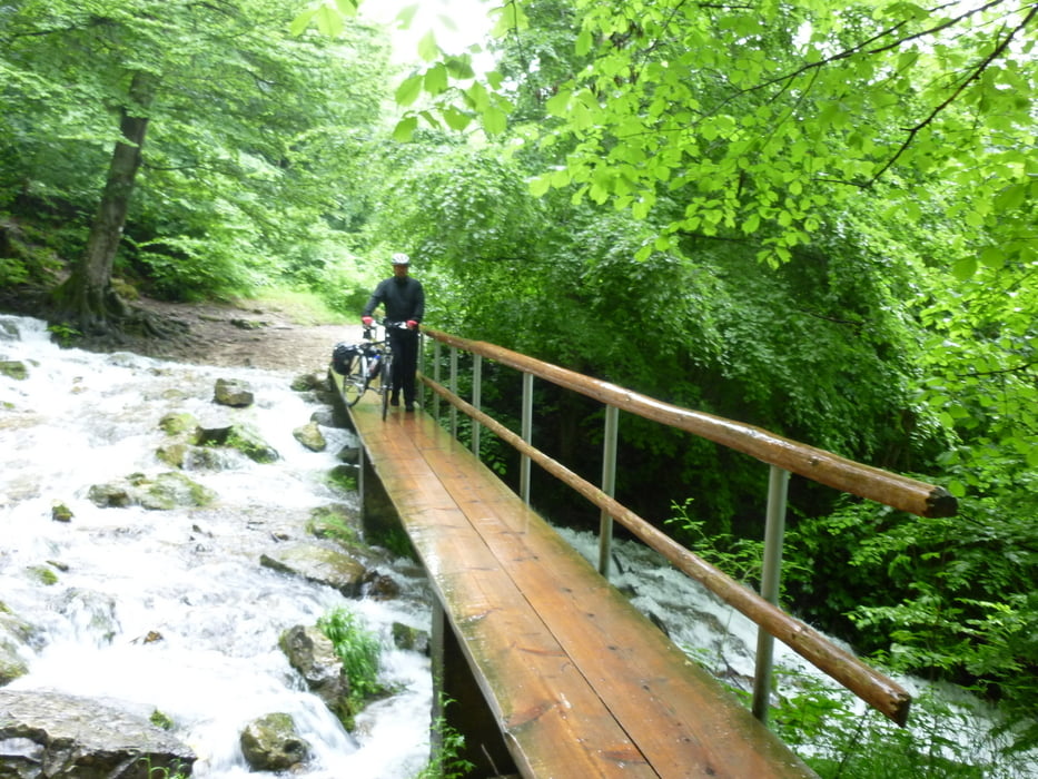
 

Galerija izletov

Zemljevid in višinski profil izleta

  • Open Street Map
  • Google
Minimum height 342 m Maximum height 891 m Prikaz podrobnosti

More about the tour author

Guddy
Member since 2009

Send private message

Komentarji

Poti GPS

Trackpoints
  • GPX / Garmin Map Source (gpx) download
  • TCX / Garmin Training Center® (tcx) download
  • CRS / Garmin Training Center® (crs) download
  • Google Earth (kml) download
  • G7ToWin (g7t) download
  • TTQV (trk) download
  • Overlay (ovl) download
  • Fugawi (txt) download
  • Kompass (DAV) Track (tk) download
  • List z izleti (pdf) download
  • Original file of the author (gpx) download

More about the tour author

Guddy
Member since 2009

Send private message
Share track
Add to my favorites
Remove from my favorites
Edit tags
My score
Rate
Izlet: Uhingen-Forggensee
Vrsta: Izleti s kolesom
Dolžina: 249,3 km
Evaluated on:
Trajanje:
Day(s)
Hour(s)
Minute(s)
Ocena: Pokrajina Dejavnik zabave Kondicija Tehnika