


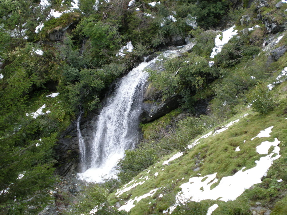
Vom Parkplatz hinter der Haltestelle des Lindling Alm Zuges zurück zur Bushaltestelle zunächst leicht aufwärts dem 11 - Hüttenweg folgen, über Eibling Alm und Forsthof Alm über den Talschluß Höhenweg zur (bewirtschafteten) Osman Alm. Von dort über Saal Alm und der sehr "touristischen" Lindling Alm (da durch den Talschluß Zug von Lengau aus ohne Laufen zu erreichen) zurück nach Lengau
Galerija izletov

Zemljevid in višinski profil izleta
Minimum height 1134 m
Maximum height 1611 m
More about the tour author
|
|
Lanzarottl |
Komentarji

von Saalbach aus Hinterglemm durch den Tunnel umfahren, der Strasse in den Talgrund folgen bis hinter Lengau, dort ist hinter der Haltestelle des Lindling Alm Zuges ein Parkplatz
Poti GPS
Trackpoints-
GPX / Garmin Map Source (gpx) download
-
TCX / Garmin Training Center® (tcx) download
-
CRS / Garmin Training Center® (crs) download
-
Google Earth (kml) download
-
G7ToWin (g7t) download
-
TTQV (trk) download
-
Overlay (ovl) download
-
Fugawi (txt) download
-
Kompass (DAV) Track (tk) download
-
List z izleti (pdf) download
-
Original file of the author (gpx) download
More about the tour author
|
|
Lanzarottl |
Add to my favorites
Remove from my favorites
Edit tags
Open track
My score
Rate