Login

Si pozabil/a podatke za prijavo?

Cookies have to be accepted!
Your browser's cookie functionality is disabled. Please enable this functionality.

Not a member yet?

Register now
Login

Available for registred users only

Log in to use this feature.

Si pozabil/a podatke za prijavo?

Cookies have to be accepted!
Your browser's cookie functionality is disabled. Please enable this functionality.

Not a member yet?

Register now
Filter
Kategorije
Advanced filters
  • Dolžina (km)
  • Metri nadmorske višine
Shrani filter Reset filter

TrackRank

QRCode

Technical data

Dolžina38,0 km Metri nadmorske višine793 m Way down797 m Trajanje00:00 h:m Datum08.08.2010
Ocene Author Pokrajina Dejavnik zabave Kondicija Tehnika

Statistika

792 Pogledi Ocene 88 Prenosi Povprečje
Rate
  • List z izleti
  • Prihod
  • Prenosi

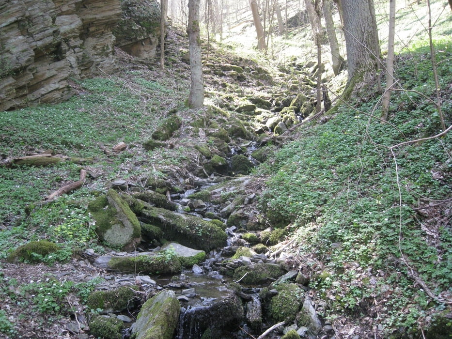
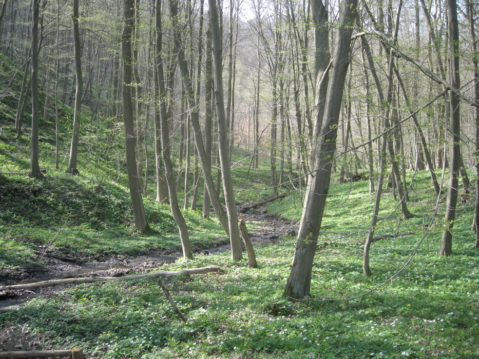
Start in Meisdorf Parkplatz am Selketal. Zunächst hoch zur Meisdorfer Trift und gleich wieder runter ins Tal via Lumpensteig (steil und steinig). Dann hinauf zur Hohen Warte und runter zur Selkemühle. Wieder Aufffaht über Antoinettensteig und das Nagelbachtal wieder runter ins Selketal. Dann noch zwei Auffahrten an der südlichen Talseite und über Burg Falkenstein zurück zum Ausgangspunkt

Galerija izletov

Zemljevid in višinski profil izleta

  • Open Street Map
  • Google
Minimum height 179 m Maximum height 409 m Prikaz podrobnosti

More about the tour author

ThomasMueller128
Member since 2008

Send private message

Komentarji

Poti GPS

Trackpoints
  • GPX / Garmin Map Source (gpx) download
  • TCX / Garmin Training Center® (tcx) download
  • CRS / Garmin Training Center® (crs) download
  • Google Earth (kml) download
  • G7ToWin (g7t) download
  • TTQV (trk) download
  • Overlay (ovl) download
  • Fugawi (txt) download
  • Kompass (DAV) Track (tk) download
  • List z izleti (pdf) download
  • Original file of the author (gpx) download

More about the tour author

ThomasMueller128
Member since 2008

Send private message
Share track
Add to my favorites
Remove from my favorites
Edit tags
My score
Rate
Izlet: Höhenmeter im Selketal
Vrsta: Gorsko kolo
Dolžina: 38,0 km
Evaluated on:
Trajanje:
Day(s)
Hour(s)
Minute(s)
Ocena: Pokrajina Dejavnik zabave Kondicija Tehnika