

Hallo!
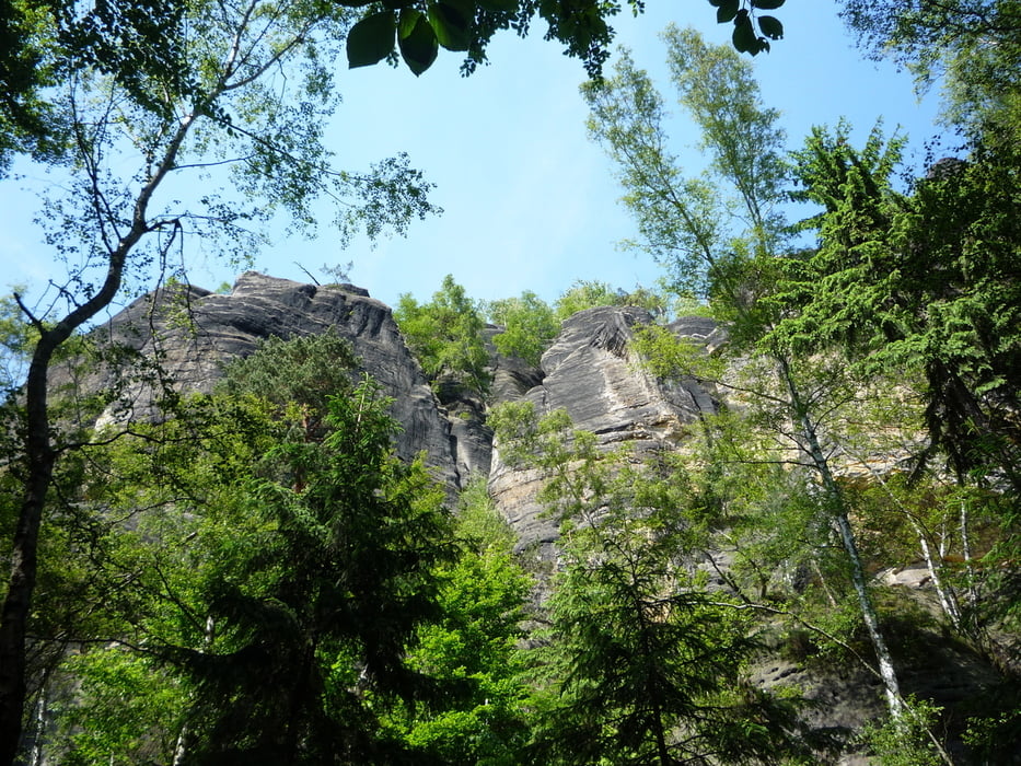
Heute gibt es eine kurze Halbtagstour durch die Felslandschaft um Jonsdorf im Zittauer Gebirge. Start ist der Jonsdorfer Bahnhof der Schmalspurbahn. Von dort geht es in Richtung Carolafelsen...drumherum in Richtung Mühlsteinbruch und dann weiter zum "Schwarzen Loch". Der Weg um den Carolafelsen bietet hier sehr viele kleine Pfade und Wege die es loht zu entdecken. Außerdem gibt es hier einen Bergwerks-Lehrpfad mit reichlich Informationen für jung und alt. Dann geht es entlang an vielen Felsformationen mit dem ein oder anderen Ausblick (Kleine und Große Orgel). Weiter gteht es um die Jonsdorfer Felsenstadt zum Nonnenfelsen an dem man gut einkehren kann. Dann der Abstieg zum Gondelteich in Jonsdorf und dann durch den Ort zurück an den Bahnhof. Wer hier mal einen Blick nach links und rechts wagt wird hier viele feine restaurierte Umgebindehäuser entdecken.
Viel Spaß dabei!
Galerija izletov

Zemljevid in višinski profil izleta
Minimum height 410 m
Maximum height 608 m
More about the tour author

|
jibb_saw |
Komentarji

Poti GPS
Trackpoints-
GPX / Garmin Map Source (gpx) download
-
TCX / Garmin Training Center® (tcx) download
-
CRS / Garmin Training Center® (crs) download
-
Google Earth (kml) download
-
G7ToWin (g7t) download
-
TTQV (trk) download
-
Overlay (ovl) download
-
Fugawi (txt) download
-
Kompass (DAV) Track (tk) download
-
List z izleti (pdf) download
-
Original file of the author (gpx) download
More about the tour author
|
|
jibb_saw |
Add to my favorites
Remove from my favorites
Edit tags
Open track
My score
Rate