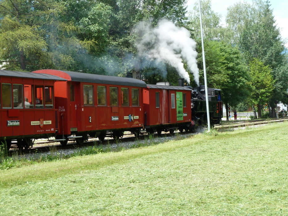
Von Straß, Eingang Zillertal, bis Mayerhofen und zurück. Ein sehr schöner Radweg ohne Verkehr. Bei der Hinfahrt leicht bergauf, keine Steigungen. Wenig Sandstraßen.
Galerija izletov
Zemljevid in višinski profil izleta
Minimum height 430 m
Maximum height 637 m
Komentarji

Autobahn Kufstein-Innsbruck Ausfahrt Zillertal.
Links Richtung Wörgl und nach dem Gasthof Zillertal (liegt links) erste Straße rechts und dort parken.
Poti GPS
Trackpoints-
GPX / Garmin Map Source (gpx) download
-
TCX / Garmin Training Center® (tcx) download
-
CRS / Garmin Training Center® (crs) download
-
Google Earth (kml) download
-
G7ToWin (g7t) download
-
TTQV (trk) download
-
Overlay (ovl) download
-
Fugawi (txt) download
-
Kompass (DAV) Track (tk) download
-
List z izleti (pdf) download
-
Original file of the author (gpx) download
Add to my favorites
Remove from my favorites
Edit tags
Open track
My score
Rate


