
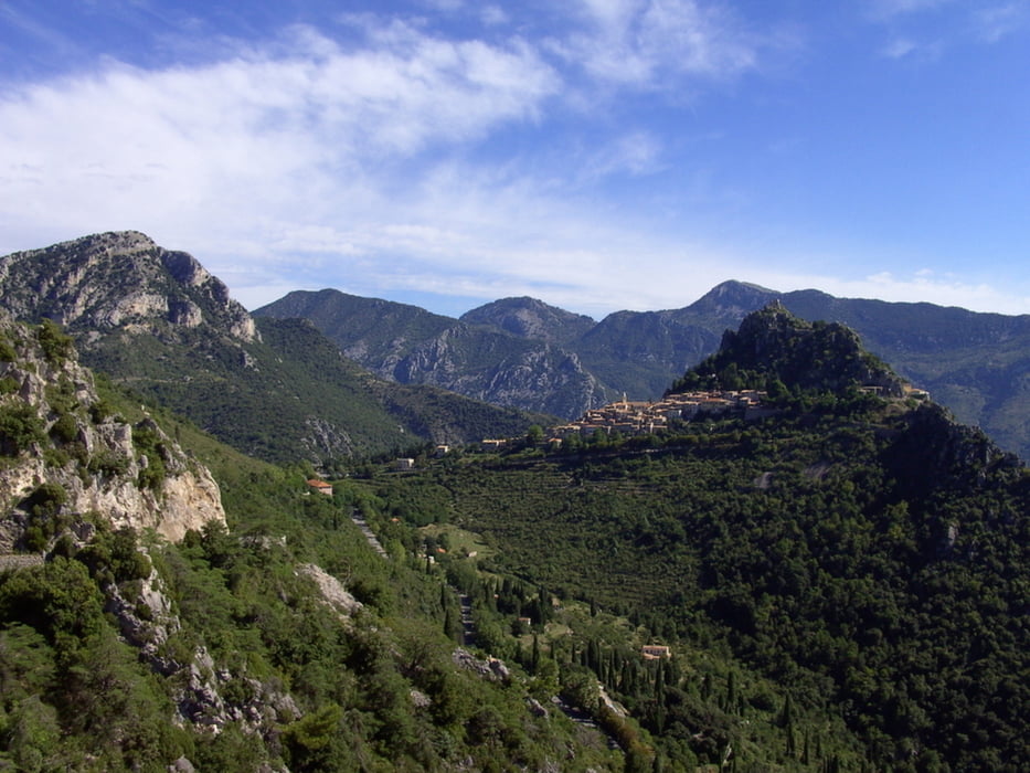

Nachdem selbst im Urlaubsmonat August in Frankreich abgesehen von den Hauptverbindungsstraßen der Verkehtr eher gemäßigt ist, an manchen Pässen kann man sogar von wenig Verkehr sprechen und die Landschaft wirklich beeindruckend ist, habe ich nochmal eine Seealpenfahrt unternommen.
1. Tag Immenstadt - Le Tour
2. Tag Le Tour - Saint Jean de Maurienne
3. Tag Saint Jean de Maurienne - Guillestre
4. Tag Guillestr - Nizza
5. Tag Nizza - Cuneo
6. Tag Cuneo - Col du Lautaret (Rifugio)
7. Tag Col du Lautaret - Biella
8. Tag Biella - Pontresina
9. Tag Pontresina- Immenstadt
Bei der Etappe Nizza - Cuneo fehlen die Höhenmeter. wie am Höhenprofil zu sehen ist. Es waren etwa 4600 Hm. Der Col d Areches ist auf etwa 7 Km geschottert, aber auch mit Straßenmaschinen gut fahrbar.
Galerija izletov


Zemljevid in višinski profil izleta
Minimum height 33 m
Maximum height 2721 m
More about the tour author
|
|
yr1willi |
Komentarji

Abfahrt war in Immenstadt im Allgäu
Poti GPS
Trackpoints-
GPX / Garmin Map Source (gpx) download
-
TCX / Garmin Training Center® (tcx) download
-
CRS / Garmin Training Center® (crs) download
-
Google Earth (kml) download
-
G7ToWin (g7t) download
-
TTQV (trk) download
-
Overlay (ovl) download
-
Fugawi (txt) download
-
Kompass (DAV) Track (tk) download
-
List z izleti (pdf) download
-
Original file of the author (gpx) download
More about the tour author
|
|
yr1willi |
Add to my favorites
Remove from my favorites
Edit tags
Open track
My score
Rate