
")

Luftkurort Gohrisch - Stiller Grund - Gohrisch(Stein) - Schwedenhöhle - Parkplatz Papststein - Papststein - Suppelsgrund - Neue Jäke - Luftkurort Gohrisch
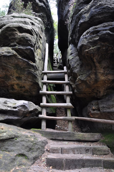
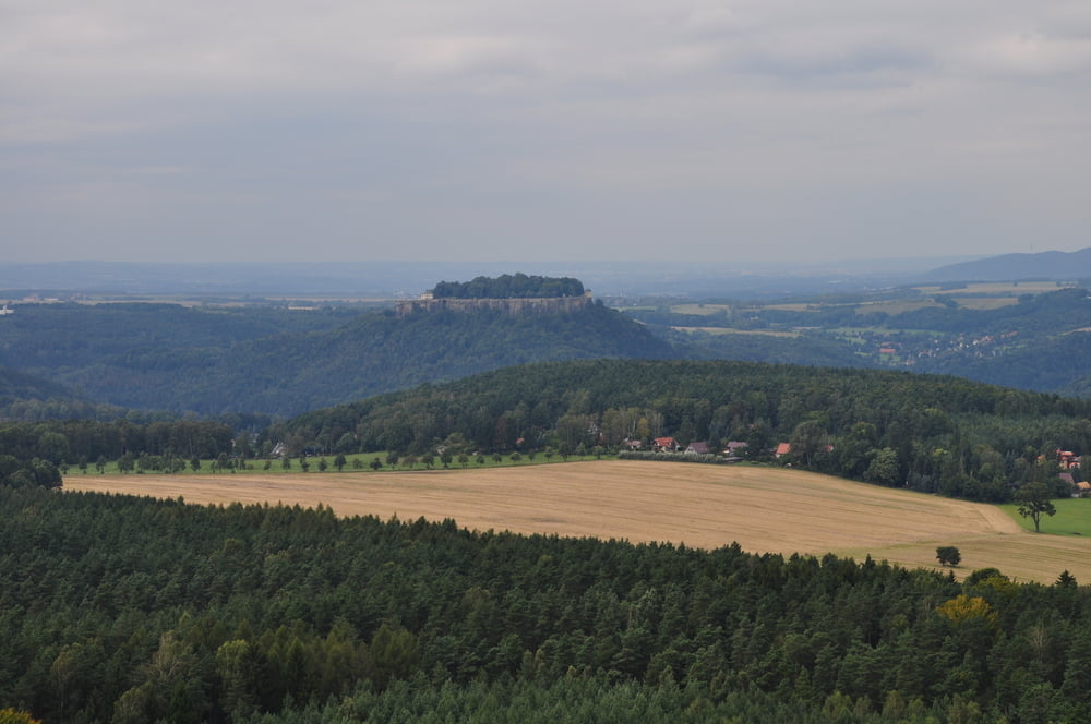
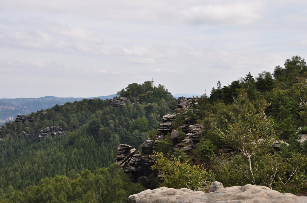
Die Tour startet auf einem kostenlosen Parkplatz (Parken auf eigene Gefahr) im Luftkurort Gohrisch. Den Stillen Grund entlang geht es Richtung Gohrisch(Stein). Das Ende des Aufstiegs zum Gipfel erfolgt über die Falkenschlucht (schwerer Aufstieg laut Ausschilderung). Alternativ kann der normale Aufsteig genutz werden. Nach der grandiosen Aussicht vom Gohrisch über die Sächsische Schweiz erfolgt der Abstieg. Zuvor noch Abstecher zur Schwedenhöhle (nur gering begehbar). Über den Parkplatz Papststein erfolgt anschließend der Aufsteig zum Papststein. Dieser kann schon vom Gohrisch betrachten werden. Zu erkennen ist er durch den weißen Turm auf dem Gipfel. Über den Suppelsgrund und Neue Jäke geht es zum Ausgangspunkt zurück.
- Auf Grund von Felsschluchten beim Aufstieg ist der GPS-Kontakt stellenweise unterbrochen. Eine Orientierung ist aber trotzdem sichergestellt. Verlaufen ist parktisch unmöglich.
- Einkehrmöglichkeiten in Gohrisch, Königstein und auf dem Gipfel des Papststein.
- Für die Aufstiege ist eine gewisse Grundkondition und Trittsicherheit nötig.
- Diese Tour ist auch ohne GPS-Gerät möglich, da die Beschilderung vollkommen ausreichend ist.
- Empfohlenes Kartenmaterial: "Sachsen Kartographie Nr. 10 Vordere Sächsische Schweiz"
Further information at
http://www.nationalpark-saechsische-schweiz.de/Galerija izletov
Zemljevid in višinski profil izleta
Minimum height 254 m
Maximum height 451 m
More about the tour author
|
|
eye84 |
Komentarji

Anfahrt Richtung Dresden, A17 nach Pirna (Ausfahrt Pirna). Von Pirna nach Königstein. Der Ausschilderung nach Gohrisch folgen.
- Parkmöglichkeit im Ort kostenlos vorhanden.
- Campingplatz im Ort Gohrisch vorhanden.
Poti GPS
Trackpoints-
GPX / Garmin Map Source (gpx) download
-
TCX / Garmin Training Center® (tcx) download
-
CRS / Garmin Training Center® (crs) download
-
Google Earth (kml) download
-
G7ToWin (g7t) download
-
TTQV (trk) download
-
Overlay (ovl) download
-
Fugawi (txt) download
-
Kompass (DAV) Track (tk) download
-
List z izleti (pdf) download
-
Original file of the author (gpx) download
More about the tour author
|
|
eye84 |
Add to my favorites
Remove from my favorites
Edit tags
Open track
My score
Rate