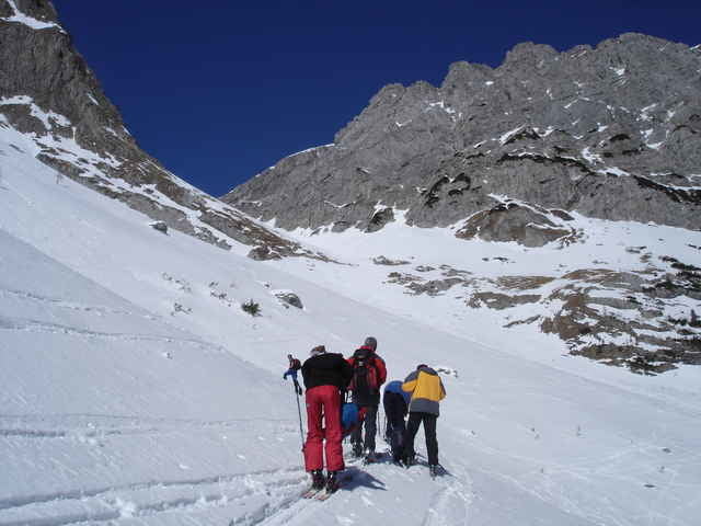
Vom Gasthaus Valentin geht es durch das Valentintal in Richtung Valentintörl. Bei 1600hm quert man dann aber nach Norden in Richtung Wodnertörl das relativ einfach über weite Hänge zu erreichen ist.
Galerija izletov
Zemljevid in višinski profil izleta
Minimum height 1210 m
Maximum height 2067 m
Komentarji

Mit dem Auto auf der B110 in Richtung Plöckenpass. Kurz vor dem ersten Tunnel geht es nach Rechts zur unteren Valentinalm (WP) bis zu der man mit dem Auto fahren kann.
Poti GPS
Trackpoints-
GPX / Garmin Map Source (gpx) download
-
TCX / Garmin Training Center® (tcx) download
-
CRS / Garmin Training Center® (crs) download
-
Google Earth (kml) download
-
G7ToWin (g7t) download
-
TTQV (trk) download
-
Overlay (ovl) download
-
Fugawi (txt) download
-
Kompass (DAV) Track (tk) download
-
List z izleti (pdf) download
-
Original file of the author (gpx) download
Add to my favorites
Remove from my favorites
Edit tags
Open track
My score
Rate


