


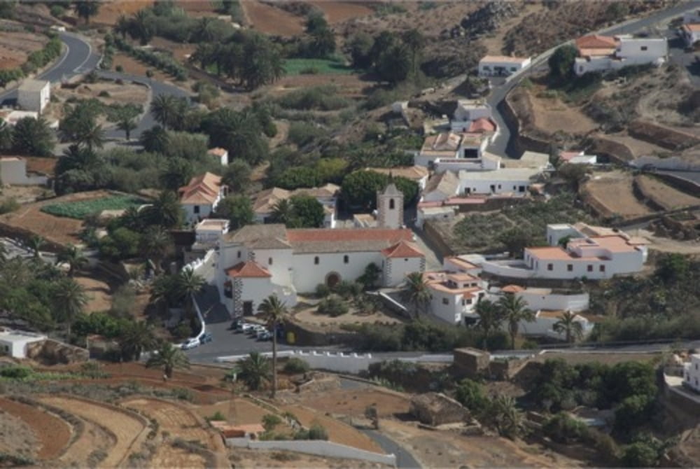
In Betancuria neben dem Museum an der Hauptstrasse geht man die Strasse bergan. Man lässt die kleine öffentliche Bibliothek links liegen und folgt dem Weg, der bald zur Piste wird. Am Ende der Piste lässt man die beiden nacheinander folgenden Staudämme rechts liegen und sucht sich seinen Weg bergan nach eigenem Gefühl. Es gibt hier keinen Weg, der Aufstieg ist aber überall sehr einfach und ungefährlich.
Auf dem Kamm angekommen hat man einen wunderschönen Blick auf die andere Seite der Bergkette Richtung Antigua und zurück nach Betancuria.
Dem Fahrweg folgt man nun nach links (Richtung Norden). In der letzten Senke dieses Wegs vor dem Aufstieg zu dem sichtbaren Mirador hält man sich links und folgt dem Weg ins Tal. Unten im Dorf angekommen folgt man dem befestigten Weg nach links und ist wieder an seinem Ausgangspunkt
Further information at
http://vimeo.com/channels/84060Galerija izletov


Zemljevid in višinski profil izleta
Minimum height 405 m
Maximum height 635 m
More about the tour author
|
|
cirrus123 |
Komentarji

Von Antigua ausgeschildert Richtung Betancuria
Poti GPS
Trackpoints-
GPX / Garmin Map Source (gpx) download
-
TCX / Garmin Training Center® (tcx) download
-
CRS / Garmin Training Center® (crs) download
-
Google Earth (kml) download
-
G7ToWin (g7t) download
-
TTQV (trk) download
-
Overlay (ovl) download
-
Fugawi (txt) download
-
Kompass (DAV) Track (tk) download
-
List z izleti (pdf) download
-
Original file of the author (gpx) download
More about the tour author
|
|
cirrus123 |
Add to my favorites
Remove from my favorites
Edit tags
Open track
My score
Rate