


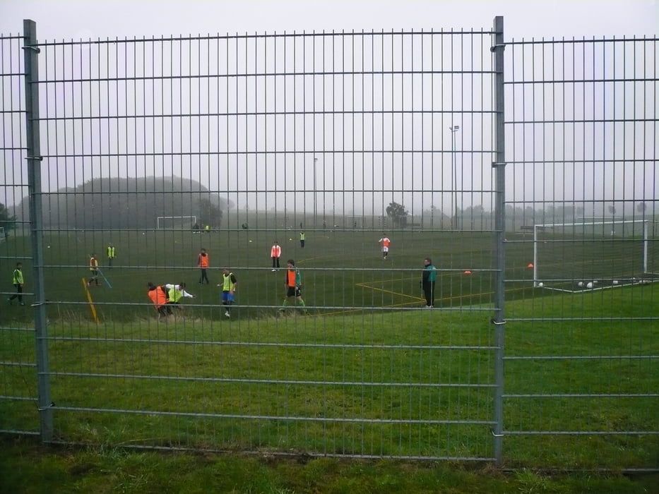
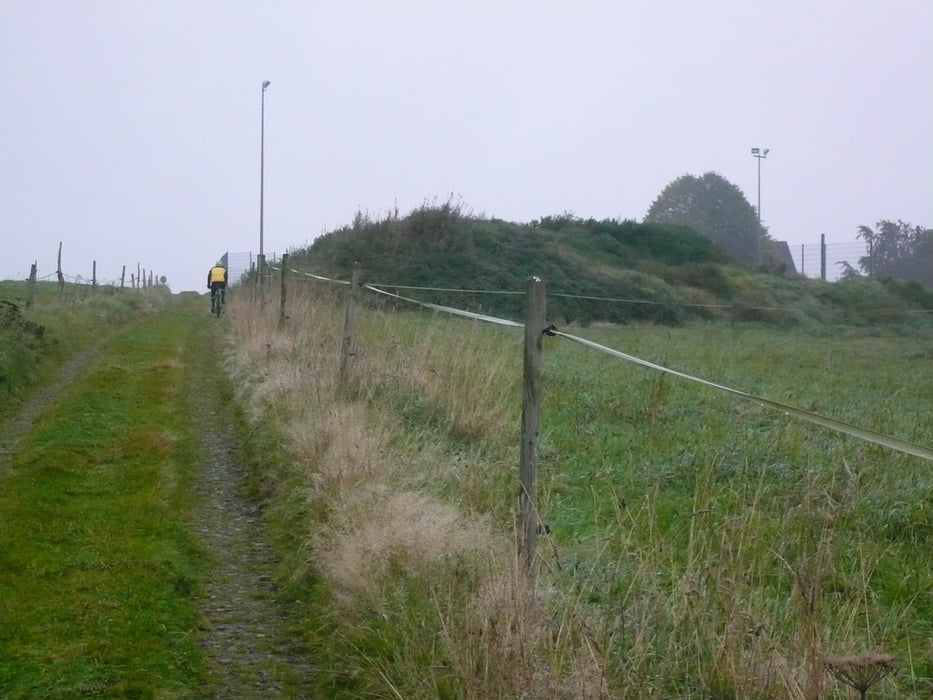
Start: Halver, Jugendheimplatz, Südstr., Talstr bis zur Kölner Str., nach links, sofort rechts dem kleinen Weg folgen. Mühlenstr. überqueren, Altemühle, Büchermühle bis zur B 229, rechts, sofort links in Richtung Ennepe, Löhrmühle, in Höhe Löhrmühle, links in den Feldweg bis Nordeln. Nordeln immer rechts halten, bis auf Asphaltstr., diese rechts hoch zum Kreisch, dann rechts halten bis Grünenbaum (Sportplatz) zur asphaltierten Straße, rechts in Richtung L 528, auf der L 528 links, nach ca. 100 m rechts über Glörfeld zur Glörtalsperre, rechts um die Gör bis linkerhand steiler Felsen am Wasser kommt. Von dort rechts in den Wald, nach ca. 50 m linkd fahren, dem Weg folgen bis nach Rotthausen. In Rotthausen die Landstr. überqueren, bis diese wieder erreicht wird. Dieser links folgen. Über Schöneberge, nach ca. 300 m hinter Schöneberge links in den Wald bis zur B 229. Auf der B 229 bis zum Ziel: Innenstadt Halver, Zur Neustadt (Frankfurter Str)
Galerija izletov
Zemljevid in višinski profil izleta
Minimum height 300 m
Maximum height 434 m
More about the tour author
|
|
neuser |
Komentarji

dto.
Poti GPS
Trackpoints-
GPX / Garmin Map Source (gpx) download
-
TCX / Garmin Training Center® (tcx) download
-
CRS / Garmin Training Center® (crs) download
-
Google Earth (kml) download
-
G7ToWin (g7t) download
-
TTQV (trk) download
-
Overlay (ovl) download
-
Fugawi (txt) download
-
Kompass (DAV) Track (tk) download
-
List z izleti (pdf) download
-
Original file of the author (gpx) download
More about the tour author
|
|
neuser |
Add to my favorites
Remove from my favorites
Edit tags
Open track
My score
Rate