


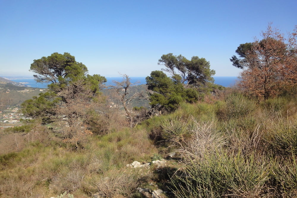
In Andora einem Wanderweg aufgesessen und das MTB rd. 400m hoch getragen. Der Spaßfaktor ging dabei gegen Null! Fahren definitiv nicht möglich. Auf halben Weg nach oben kam eine Straße, nach ca. 1 km waren ein Bernhardiner und ein Schäferhund hinter mir her und der Weg zu Ende! Wieder umgekehrt und das Rad weiter nach oben getragen. Auch auf dem Bergkamm war kein richtiges Fahren wegen zu großer Felsbrocken möglich. Schließlich schnelle Abfahrt nach Rollo und Andora. Insgesamt eine anstrengende Horrortour. Als Wanderung sicherlich wegen des tollen Ausblicks sowohl bis Alassio und Albenga, als auch nach Imperia teilweise zu empfehlen (z.B. ab Rollo).
Un tour terribile. Ho devuto portare il MTB solo a piedi. Un grande vista ma non un consiglio per andara con il MTB.
Galerija izletov


Zemljevid in višinski profil izleta
Minimum height 5 m
Maximum height 399 m
More about the tour author
|
|
GuenterM |
Komentarji

Poti GPS
Trackpoints-
GPX / Garmin Map Source (gpx) download
-
TCX / Garmin Training Center® (tcx) download
-
CRS / Garmin Training Center® (crs) download
-
Google Earth (kml) download
-
G7ToWin (g7t) download
-
TTQV (trk) download
-
Overlay (ovl) download
-
Fugawi (txt) download
-
Kompass (DAV) Track (tk) download
-
List z izleti (pdf) download
-
Original file of the author (gpx) download
More about the tour author
|
|
GuenterM |
Add to my favorites
Remove from my favorites
Edit tags
Open track
My score
Rate