Login

Si pozabil/a podatke za prijavo?

Cookies have to be accepted!
Your browser's cookie functionality is disabled. Please enable this functionality.

Not a member yet?

Register now
Login

Available for registred users only

Log in to use this feature.

Si pozabil/a podatke za prijavo?

Cookies have to be accepted!
Your browser's cookie functionality is disabled. Please enable this functionality.

Not a member yet?

Register now
Filter
Kategorije
Advanced filters
  • Dolžina (km)
  • Metri nadmorske višine
Shrani filter Reset filter

TrackRank

QRCode

Technical data

Dolžina26,1 km Metri nadmorske višine1015 m Way down1032 m Trajanje02:45 h:m Datum06.10.2010
Ocene Author User Pokrajina Dejavnik zabave Kondicija Tehnika

Statistika

2195 Pogledi 3 Ocene 495 Prenosi 3.00 Povprečje
Rate
  • List z izleti
  • Prihod
  • Prenosi

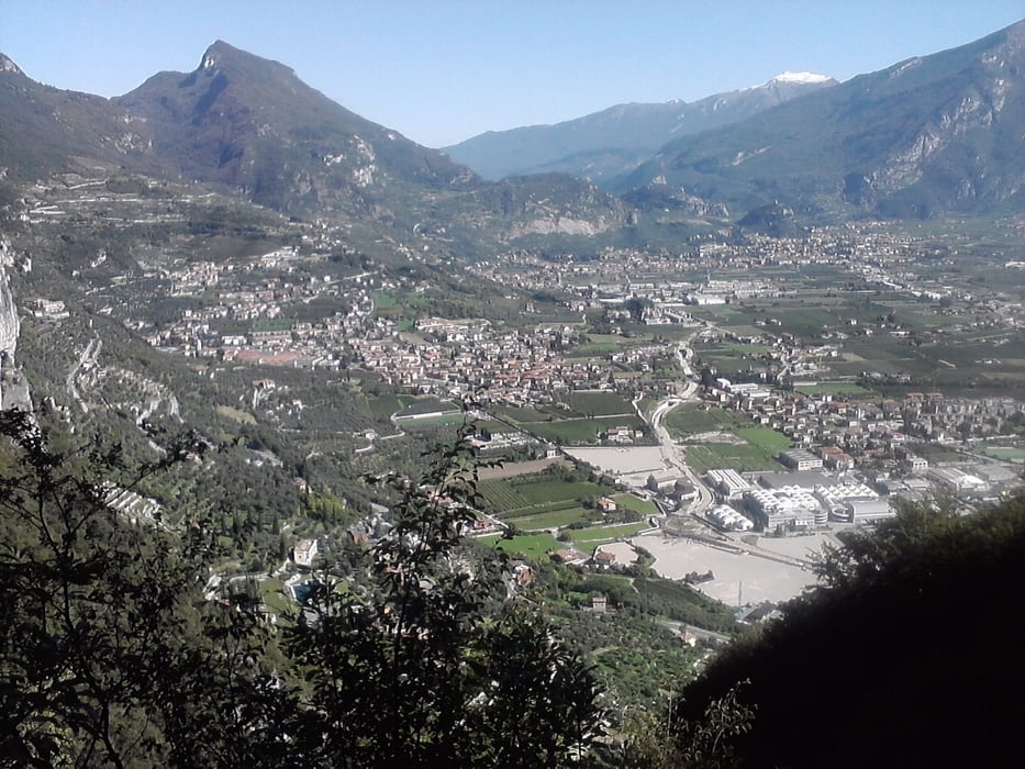
 Schöne Tour. Langer Anstieg, lange, rasante Abfahrt. Rastmöglichkeit bei Malga Grassi. Von hier gehrt es einen Teil zurück, bevor wir nach rechts in die Abfahrt einbiegen.

Galerija izletov

Zemljevid in višinski profil izleta

  • Open Street Map
  • Google
Minimum height 65 m Maximum height 1067 m Prikaz podrobnosti

More about the tour author

mareb1972
Member since 2009

Send private message

Komentarji

 Riva del Garda, zahlreiche Parkmöglichkeiten

Poti GPS

Trackpoints
  • GPX / Garmin Map Source (gpx) download
  • TCX / Garmin Training Center® (tcx) download
  • CRS / Garmin Training Center® (crs) download
  • Google Earth (kml) download
  • G7ToWin (g7t) download
  • TTQV (trk) download
  • Overlay (ovl) download
  • Fugawi (txt) download
  • Kompass (DAV) Track (tk) download
  • List z izleti (pdf) download
  • Original file of the author (gpx) download

More about the tour author

mareb1972
Member since 2009

Send private message
Share track
Add to my favorites
Remove from my favorites
Edit tags
My score
Rate
Izlet: Riva - Malga Grassi - Riva
Vrsta: Gorsko kolo
Dolžina: 26,1 km
Evaluated on:
Trajanje:
Day(s)
Hour(s)
Minute(s)
Ocena: Pokrajina Dejavnik zabave Kondicija Tehnika