


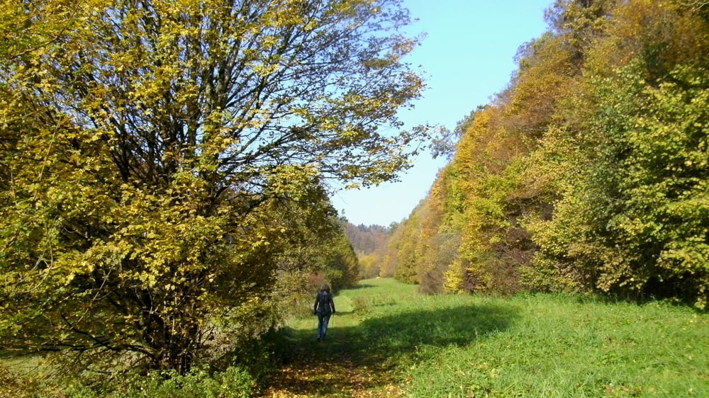
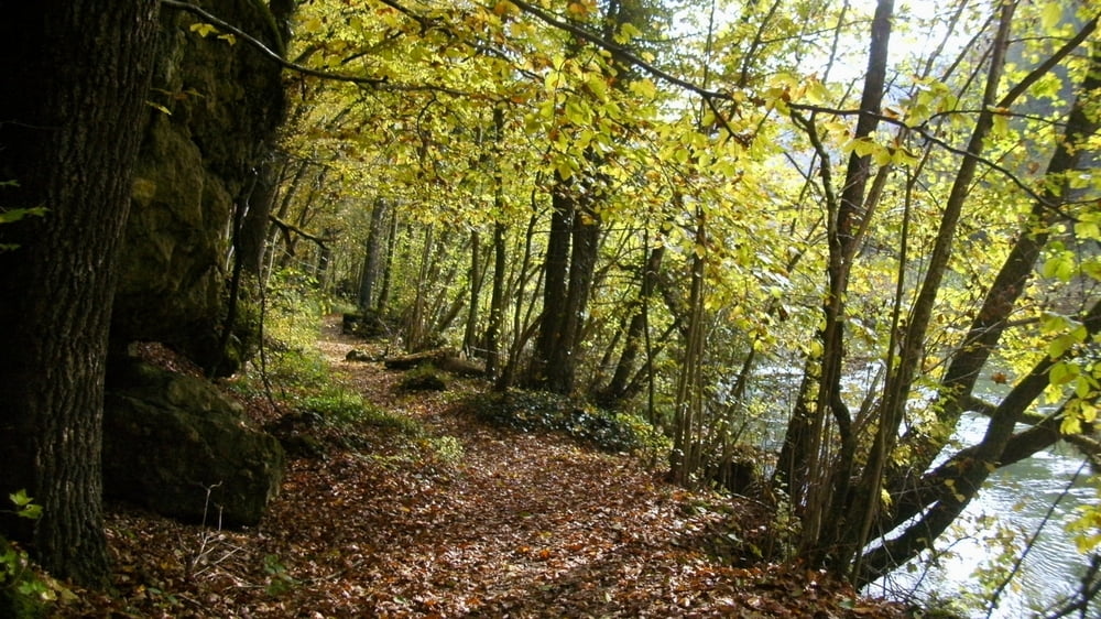
Vom Parkplatz zurück 100m auf der Straße und rechts ab mit Gelbstrich Richrung Engelhardsberg. Auf Wiesen- und Waldweg mit bunten Laubbäumen gemütlich voran. Rückweg auf gleicher Strecke: man hat nochmals den Genuss des Goldenen Waldes aus anderer Perspektive. Die angegebene Zeit/ Weglänge bezieht sich auf Hin- und Rückweg!
Galerija izletov

Zemljevid in višinski profil izleta
Minimum height 302 m
Maximum height 395 m
More about the tour author
|
|
heinz-57 |
Komentarji

Google Earth: 49°46'51.27"N / 11°20'0.54"E
Von Forchheim und Ebermannstadt kommend bis Behringersmühle. Am Ortseingang links ab nach Waischenfeld. Erste Abzweigung rechts und bis Gasthaus bzw. Bäckerei. Dort Parkmöglichkeit
Poti GPS
Trackpoints-
GPX / Garmin Map Source (gpx) download
-
TCX / Garmin Training Center® (tcx) download
-
CRS / Garmin Training Center® (crs) download
-
Google Earth (kml) download
-
G7ToWin (g7t) download
-
TTQV (trk) download
-
Overlay (ovl) download
-
Fugawi (txt) download
-
Kompass (DAV) Track (tk) download
-
List z izleti (pdf) download
-
Original file of the author (gpx) download
More about the tour author
|
|
heinz-57 |
Add to my favorites
Remove from my favorites
Edit tags
Open track
My score
Rate