


Mit der Vinschgerbahn talaufwärts bis Mals. Von dort auf und ab und auf und ab ..... bis Latsch.
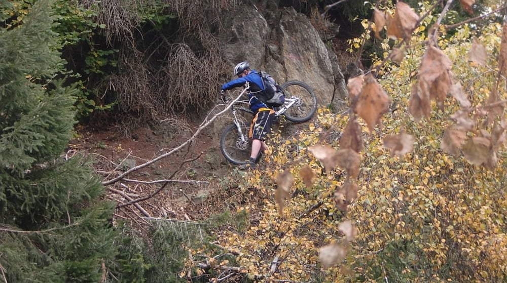
Gefühlt sind von der Gesamtstrecke 75% Trailanteil - bitte nicht darauf festnageln, aber es gibt auf jeden Fall jeeede Menge Trails ! Am Anfang ganz leicht, später schwieriger ( und zumindest bei mir hat auch die Kondition nachgelassen, daher wurd's nicht einfacher ).
Eine Einkehr gegen mittag in Prad am StilfserJoch bietet sich an -
die Buschenschänken-/ Hofschänkendichte ist nicht vergleichbar mit der Hüttendichte in den deutschen Alpen.
Galerija izletov


Zemljevid in višinski profil izleta
Minimum height 633 m
Maximum height 1202 m
More about the tour author

|
mfa69 |
Komentarji

Mit der Vinschgerbahn bis zum Bahnhof Mals ( jeder Zug hat Bikeabteils, Ticketautomaten im Zug, BikeKarte 4€ extra lösen )
Poti GPS
Trackpoints-
GPX / Garmin Map Source (gpx) download
-
TCX / Garmin Training Center® (tcx) download
-
CRS / Garmin Training Center® (crs) download
-
Google Earth (kml) download
-
G7ToWin (g7t) download
-
TTQV (trk) download
-
Overlay (ovl) download
-
Fugawi (txt) download
-
Kompass (DAV) Track (tk) download
-
List z izleti (pdf) download
-
Original file of the author (gpx) download
More about the tour author
|
|
mfa69 |
Add to my favorites
Remove from my favorites
Edit tags
Open track
My score
Rate