


Geparkt wird in Lerbach auf dem Parkplatz am Mühlenteich neben dem Waldschwimmbad.
Von dort geht es, wie sollte es anders sein, erst einmal bergauf.
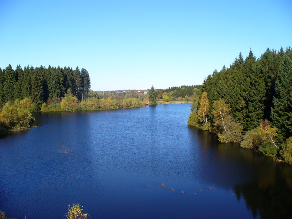
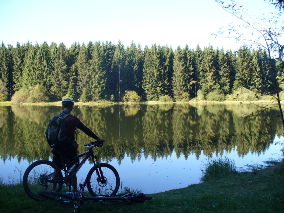
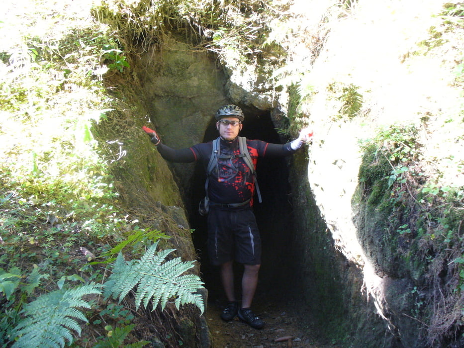
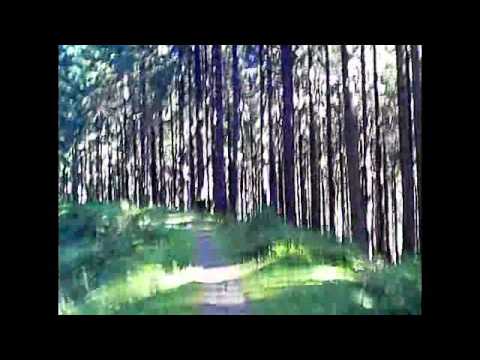
Es folgen zahlreiche Trails bergab, eben aber auch teilweise bergauf, vorbei an Teichen, Bächen, Gräben und einfach nur durch den Wald, immer Richtung Altenau.
Vor Altenau geht es im Bogen auf gleiche Weise Richtung Clausthal-Zellerfeld, durch Erbprinzentanne und dann wieder nach Lerbach.
Further information at
http://www.lerbach.de/lerbach/index.phpGalerija izletov

Zemljevid in višinski profil izleta
Minimum height 393 m
Maximum height 621 m
More about the tour author
|
|
MTB-TiGer |
Komentarji

Von Osterode Richtung Clausthal-Zellerfeld auf der B241, rechts abbiegen nach Lerbach, durch Lerbach hindurch, am Ortsende rechts abbiegen zum Parkplatz (Schwimmbad ausgeschildert). Von Clausthal-Zellerfeld Richtung Osterode auf der B241, links abbiegen nach Lerbach, vor Lerbach wieder links abbiegen zum Parkplatz (Schwimmbad ausgeschildert).
Poti GPS
Trackpoints-
GPX / Garmin Map Source (gpx) download
-
TCX / Garmin Training Center® (tcx) download
-
CRS / Garmin Training Center® (crs) download
-
Google Earth (kml) download
-
G7ToWin (g7t) download
-
TTQV (trk) download
-
Overlay (ovl) download
-
Fugawi (txt) download
-
Kompass (DAV) Track (tk) download
-
List z izleti (pdf) download
-
Original file of the author (gpx) download
More about the tour author
|
|
MTB-TiGer |
Add to my favorites
Remove from my favorites
Edit tags
Open track
My score
Rate