


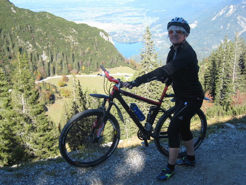
Für die Auffahrt zu den Herzogstandhäusern gibt es zwar schon viele Beschreibungen.
Sie stellt eine Alternative zur Auffahrt über die Alte Kesselbergstraße dar.
Die beschriebene Variante kann direkt an der Ausfahrt Murnau/Kochel der A95 begonnen werden und man braucht nicht Kochel zu fahren. Direkt an der Ausfahrt stehen genug Parkplätze zur Verfügung. Die Anfahrtsstrecke von den Parkplatz führt am Westufer des Kochelsees direkt in den Steilanstieg zum Herzogstand und ist relativ gut ausgeschildert. Es sind allerdings insgesamt ca. 200 m Gegenanstiege enthalten.
Beim Abzweig auf 755 m muss man aufpassen nicht in Richtung Pionierweg zu fahren, der ein Tragestück enthält.
Further information at
http://www.karlsfelder-triathlon.org/Galerija izletov
Zemljevid in višinski profil izleta
Minimum height 606 m
Maximum height 1580 m
More about the tour author

|
ludwigsfelder |
Komentarji

Poti GPS
Trackpoints-
GPX / Garmin Map Source (gpx) download
-
TCX / Garmin Training Center® (tcx) download
-
CRS / Garmin Training Center® (crs) download
-
Google Earth (kml) download
-
G7ToWin (g7t) download
-
TTQV (trk) download
-
Overlay (ovl) download
-
Fugawi (txt) download
-
Kompass (DAV) Track (tk) download
-
List z izleti (pdf) download
-
Original file of the author (gpx) download
More about the tour author
|
|
ludwigsfelder |
Add to my favorites
Remove from my favorites
Edit tags
Open track
My score
Rate