


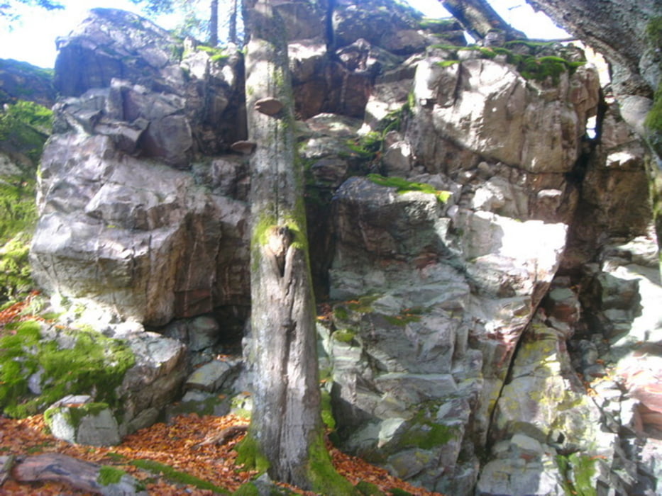
Galerija izletov
Zemljevid in višinski profil izleta
Minimum height 451 m
Maximum height 691 m
More about the tour author
|
|
Tropedo-Fahrrad |
Komentarji
Poti GPS
Trackpoints-
GPX / Garmin Map Source (gpx) download
-
TCX / Garmin Training Center® (tcx) download
-
CRS / Garmin Training Center® (crs) download
-
Google Earth (kml) download
-
G7ToWin (g7t) download
-
TTQV (trk) download
-
Overlay (ovl) download
-
Fugawi (txt) download
-
Kompass (DAV) Track (tk) download
-
List z izleti (pdf) download
-
Original file of the author (gpx) download
More about the tour author
|
|
Tropedo-Fahrrad |
Add to my favorites
Remove from my favorites
Edit tags
Open track
My score
Rate
Tourenfazit
Ab der Wildenburg orientiert sie sich jedoch am Saar Hunsrück Steig der für Wanderer gemacht ist und teilweise unmöglich zu fahren ist und gezwungenermaßen zum Wanderer wird. Wenn man diese Passagen aber überwunden hat wird man mit der Aussicht seines Lebens belohnt. Denke ich werde die Tour mal wieder fahren.
freut mich das Dir die Tour gefallen hat. Der HHS hat schon einige "knifflige" Stellen (Mörschieder Burr), wo ein absteigen/Schultern unumgänglich ist. Fahrtechnikfreaks wird´s erfreuen, um ihre Grenzen auszuloten b.z.w. ihre Fahrtechnik noch zu steigern.
In diesem Sinne....
Schöne Grüße aus der Eifel und Open Trails
Dieter