Login

Si pozabil/a podatke za prijavo?

Cookies have to be accepted!
Your browser's cookie functionality is disabled. Please enable this functionality.

Not a member yet?

Register now
Login

Available for registred users only

Log in to use this feature.

Si pozabil/a podatke za prijavo?

Cookies have to be accepted!
Your browser's cookie functionality is disabled. Please enable this functionality.

Not a member yet?

Register now
Filter
Kategorije
Advanced filters
  • Dolžina (km)
  • Metri nadmorske višine
Shrani filter Reset filter

TrackRank

QRCode

Technical data

Dolžina31,9 km Metri nadmorske višine1280 m Way down1258 m Trajanje04:30 h:m Datum02.11.2010
Ocene Author Pokrajina Dejavnik zabave Kondicija Tehnika

Statistika

963 Pogledi Ocene 71 Prenosi Povprečje
Rate
  • List z izleti
  • Prihod
  • Prenosi

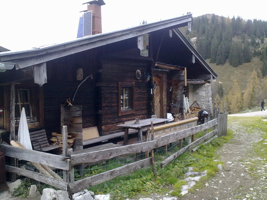
Ausgangspunkt Parkplatz Kläranlage Erpfendorf, über die Forststrasse zum Straubingerhaus zur Hindenburghütte und weiter nach Reit im Winkl, mein Endpunk war Walchsee 

Galerija izletov

Zemljevid in višinski profil izleta

  • Open Street Map
  • Google
Minimum height 597 m Maximum height 1574 m Prikaz podrobnosti

More about the tour author

zagato2003
Member since 2009

Send private message

Komentarji

Poti GPS

Trackpoints
  • GPX / Garmin Map Source (gpx) download
  • TCX / Garmin Training Center® (tcx) download
  • CRS / Garmin Training Center® (crs) download
  • Google Earth (kml) download
  • G7ToWin (g7t) download
  • TTQV (trk) download
  • Overlay (ovl) download
  • Fugawi (txt) download
  • Kompass (DAV) Track (tk) download
  • List z izleti (pdf) download
  • Original file of the author (gpx) download

More about the tour author

zagato2003
Member since 2009

Send private message
Share track
Add to my favorites
Remove from my favorites
Edit tags
My score
Rate
Izlet: Straubingerhaus - Hindenburghütte
Vrsta: Gorsko kolo
Dolžina: 31,9 km
Evaluated on:
Trajanje:
Day(s)
Hour(s)
Minute(s)
Ocena: Pokrajina Dejavnik zabave Kondicija Tehnika