
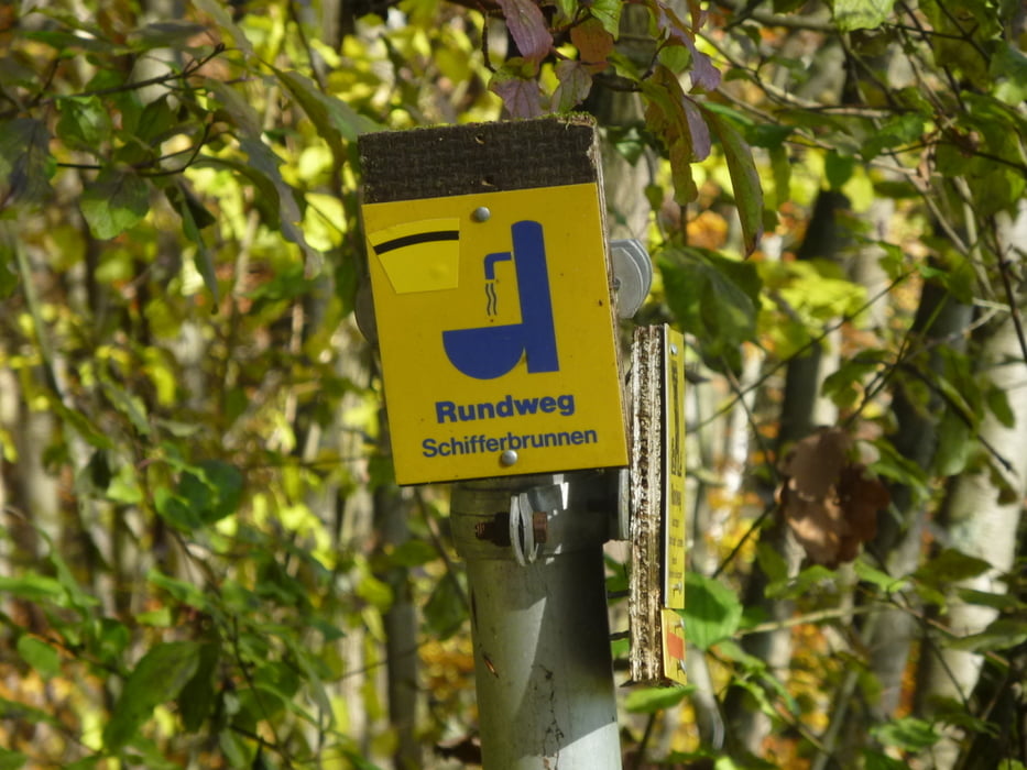

Heute sind wir leicht, aber wirklich nur leicht, außerhalb des Coburger Landkreises unterwegs. Unsere Wanderung führt uns nach Lichtenfels um den Rundweg des Schifferbrunnens abzuwandern. Diese Runde führt uns auf ca. 10km durch den Bucher Forst ...
Wer mehr wissen möchte, geht auf unten stehenden Link.
Further information at
http://www.wandern-im-coburger-land.de/schifferbrunnen.htmlGalerija izletov


Zemljevid in višinski profil izleta
Minimum height 260 m
Maximum height 341 m
More about the tour author
|
|
screwtapecoburg |
Komentarji

Aus Coburg kommend:
Die B 298 bis Lichtenfels nehmen. Noch vor der Brüche rechts in die Alte Coburger Straße einbiegen und dieser bis an ihr Ende folgen.
Von der A73:
Ausfahrt Lichtenfels Nord / Kösten nehmen. An der ersten Ampel links und gleich darauf links in die Alte Coburger Straße einbiegen und dieser bis an ihr Ende folgen.
Poti GPS
Trackpoints-
GPX / Garmin Map Source (gpx) download
-
TCX / Garmin Training Center® (tcx) download
-
CRS / Garmin Training Center® (crs) download
-
Google Earth (kml) download
-
G7ToWin (g7t) download
-
TTQV (trk) download
-
Overlay (ovl) download
-
Fugawi (txt) download
-
Kompass (DAV) Track (tk) download
-
List z izleti (pdf) download
-
Original file of the author (gpx) download
More about the tour author
|
|
screwtapecoburg |
Add to my favorites
Remove from my favorites
Edit tags
Open track
My score
Rate