
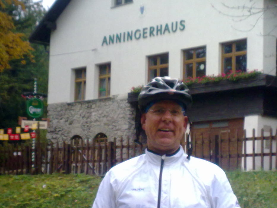

"JOJO”-Runde um den Anninger. JOJO deshalb, weil es immer rauf und runter geht und dabei gesamt circa 1.100 Höhenmeter auf einer Streckenlänge von 33 km (ab Pfaffstätten) bewältigt werden müssen. Vom Parkplatz Union Pfaffstätten rauf über den Rudolfshof zum Hühnerberg, dann runter nach Gaaden. Von dort rauf zum Anninger Schutzhaus und wieder runter zum Richardshof. Auf dem Beethovenweg weiter Richtung Pfaffstätten. Kurz vor der Veiglhütte wieder rauf zum Wetterkreuz “Drei Eichen”, Proksch Hütte mit Einkehrschwung. Gestärkt stürzten wir uns in die Abfahrt durch den Hohlweg hinunter zur Einöde und zurück zum Parkplatz nach Pfaffstätten.
Zemljevid in višinski profil izleta
Minimum height 200 m
Maximum height 659 m
More about the tour author
|
|
wuse |
Komentarji

Poti GPS
Trackpoints-
GPX / Garmin Map Source (gpx) download
-
TCX / Garmin Training Center® (tcx) download
-
CRS / Garmin Training Center® (crs) download
-
Google Earth (kml) download
-
G7ToWin (g7t) download
-
TTQV (trk) download
-
Overlay (ovl) download
-
Fugawi (txt) download
-
Kompass (DAV) Track (tk) download
-
List z izleti (pdf) download
-
Original file of the author (tcx) download
More about the tour author
|
|
wuse |
Add to my favorites
Remove from my favorites
Edit tags
Open track
My score
Rate