Login

Si pozabil/a podatke za prijavo?

Cookies have to be accepted!
Your browser's cookie functionality is disabled. Please enable this functionality.

Not a member yet?

Register now
Login

Available for registred users only

Log in to use this feature.

Si pozabil/a podatke za prijavo?

Cookies have to be accepted!
Your browser's cookie functionality is disabled. Please enable this functionality.

Not a member yet?

Register now
Filter
Kategorije
Advanced filters
  • Dolžina (km)
  • Metri nadmorske višine
Shrani filter Reset filter

TrackRank

QRCode

Technical data

Dolžina17,3 km Metri nadmorske višine1197 m Way down1187 m Trajanje06:25 h:m Datum11.04.2007
Ocene Author Pokrajina Dejavnik zabave Kondicija Tehnika

Statistika

3609 Pogledi Ocene 119 Prenosi Povprečje
Rate
  • List z izleti
  • Prihod
  • Prenosi
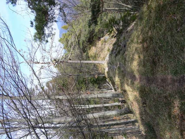
Tour auf den Türnitzer Höger, Ausgehend vom Bahnhof Hohenberg. Der Gipfel bietet neben dem Türnitzer Schutzhaus einen herrlichen Rundblick auf Rax, Schneeberg, Göller, Gippel und Hochschwab. Die Türnitzerhütte hat nur am Wochenende und Feiertagen geöffnet

Further information at

http://www.tuernitzerhuette.gebirgsverein.at

Galerija izletov

Zemljevid in višinski profil izleta

  • Open Street Map
  • Google
Minimum height 372 m Maximum height 1376 m Prikaz podrobnosti

More about the tour author

gerhardg
Member since 2006

Send private message

Komentarji

A1 Abfahrt St. Pölten Süd in Richtung Lilienfeld - Hohenberg. Diverse Parkmöglichkeiten im Bereich des Bahnhofes und der Kirche.

Poti GPS

Trackpoints
  • GPX / Garmin Map Source (gpx) download
  • TCX / Garmin Training Center® (tcx) download
  • CRS / Garmin Training Center® (crs) download
  • Google Earth (kml) download
  • G7ToWin (g7t) download
  • TTQV (trk) download
  • Overlay (ovl) download
  • Fugawi (txt) download
  • Kompass (DAV) Track (tk) download
  • List z izleti (pdf) download
  • Original file of the author (gpx) download

More about the tour author

gerhardg
Member since 2006

Send private message
Share track
Add to my favorites
Remove from my favorites
Edit tags
My score
Rate
Izlet: Türnitzer Höger
Vrsta: Pešačenje
Dolžina: 17,3 km
Evaluated on:
Trajanje:
Day(s)
Hour(s)
Minute(s)
Ocena: Pokrajina Dejavnik zabave Kondicija Tehnika