Login

Si pozabil/a podatke za prijavo?

Cookies have to be accepted!
Your browser's cookie functionality is disabled. Please enable this functionality.

Not a member yet?

Register now
Login

Available for registred users only

Log in to use this feature.

Si pozabil/a podatke za prijavo?

Cookies have to be accepted!
Your browser's cookie functionality is disabled. Please enable this functionality.

Not a member yet?

Register now
Filter
Kategorije
Advanced filters
  • Dolžina (km)
  • Metri nadmorske višine
Shrani filter Reset filter

TrackRank

QRCode

Technical data

Dolžina15,8 km Metri nadmorske višine352 m Way down362 m Trajanje02:13 h:m Datum13.01.2011
Ocene Author Pokrajina Dejavnik zabave Kondicija Tehnika

Statistika

300 Pogledi Ocene 11 Prenosi Povprečje
Rate
  • List z izleti
  • Prihod
  • Prenosi
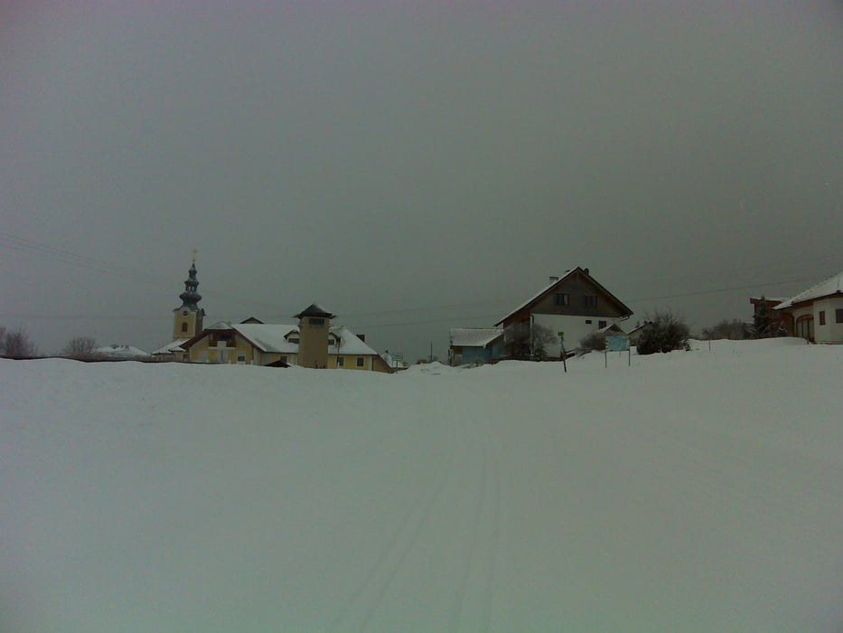
  1. Vom Parkplatz Golfplatz im Sterngartl geht die Loipe weg bis nach Traberg. Eine schwere Loipe, da viele Steigungen und Gefälle zu überwinden sind.

Galerija izletov

Zemljevid in višinski profil izleta

  • Open Street Map
  • Google
Minimum height 644 m Maximum height 922 m Prikaz podrobnosti

More about the tour author

LettnerChris
Member since 2008

Send private message

Komentarji

Leicht zu finden: Von Linz kommend auf der B126 bis Zwettl/ Rodl. Links abbiegen Richtung Oberneukirchen. Nach 50 Meter rechts abbiegen Richtung Schauerschlag. Diese Straße entlangfahren bis zum (gut beschilderten) Golfclub SternGartl.


Poti GPS

Trackpoints
  • GPX / Garmin Map Source (gpx) download
  • TCX / Garmin Training Center® (tcx) download
  • CRS / Garmin Training Center® (crs) download
  • Google Earth (kml) download
  • G7ToWin (g7t) download
  • TTQV (trk) download
  • Overlay (ovl) download
  • Fugawi (txt) download
  • Kompass (DAV) Track (tk) download
  • List z izleti (pdf) download
  • Original file of the author (gpx) download

More about the tour author

LettnerChris
Member since 2008

Send private message
Share track
Add to my favorites
Remove from my favorites
Edit tags
My score
Rate
Izlet: Traberg
Vrsta: Tek na smučeh
Dolžina: 15,8 km
Evaluated on:
Trajanje:
Day(s)
Hour(s)
Minute(s)
Ocena: Pokrajina Dejavnik zabave Kondicija Tehnika