Login

Si pozabil/a podatke za prijavo?

Cookies have to be accepted!
Your browser's cookie functionality is disabled. Please enable this functionality.

Not a member yet?

Register now
Login

Available for registred users only

Log in to use this feature.

Si pozabil/a podatke za prijavo?

Cookies have to be accepted!
Your browser's cookie functionality is disabled. Please enable this functionality.

Not a member yet?

Register now
Filter
Kategorije
Advanced filters
  • Dolžina (km)
  • Metri nadmorske višine
Shrani filter Reset filter

TrackRank

QRCode

Technical data

Dolžina13,2 km Metri nadmorske višine263 m Way down240 m Trajanje00:48 h:m Datum15.01.2011
Ocene Author Pokrajina Dejavnik zabave Kondicija Tehnika

Statistika

230 Pogledi Ocene 89 Prenosi Povprečje
Rate
  • List z izleti
  • Prihod
  • Prenosi

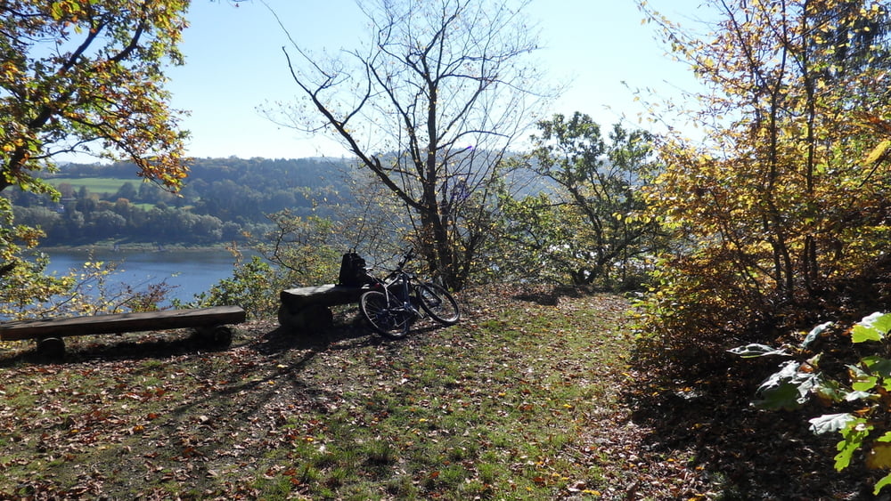
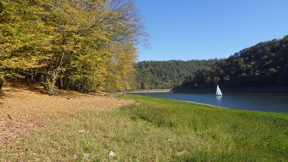
Gute ausgebaute Wege die ganze Strecke entlang. Wie fast überall am Edersee hat man etwas weiter oben angekommen einen tollen Blick auf den See.

Galerija izletov

Zemljevid in višinski profil izleta

  • Open Street Map
  • Google
Minimum height 234 m Maximum height 358 m Prikaz podrobnosti

More about the tour author

C_Schubert
Member since 2011

Send private message

Komentarji

Poti GPS

Trackpoints
  • GPX / Garmin Map Source (gpx) download
  • TCX / Garmin Training Center® (tcx) download
  • CRS / Garmin Training Center® (crs) download
  • Google Earth (kml) download
  • G7ToWin (g7t) download
  • TTQV (trk) download
  • Overlay (ovl) download
  • Fugawi (txt) download
  • Kompass (DAV) Track (tk) download
  • List z izleti (pdf) download
  • Original file of the author (gpx) download

More about the tour author

C_Schubert
Member since 2011

Send private message
Share track
Add to my favorites
Remove from my favorites
Edit tags
My score
Rate
Izlet: Asel
Vrsta: Gorsko kolo
Dolžina: 13,2 km
Evaluated on:
Trajanje:
Day(s)
Hour(s)
Minute(s)
Ocena: Pokrajina Dejavnik zabave Kondicija Tehnika