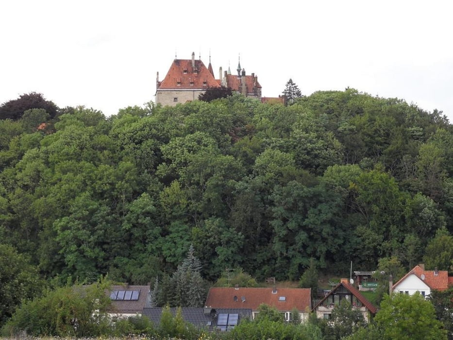
Ist eine ganz nette Strecke die nicht viel fahrerisches Können benötigt bis auf den Schluss der an einer Ecke durch einen zugewachsenen Rückeweg geht und daher nicht jedermanns Sache ist da es auch mal sein kann, das Bike mal über den einen oder anderen Baum zu tragen. Ganz zum Schluss hat man dann aber freie Fahrt in Richtung Welda. Auf einem gut ausgebauten Weg der ca. 1.5 Km nur Bergab geht und ca. 100 Höhenmeter hat wo man nochmal etwas in die Pedale treten kann.Man hat fast auf der ganzen Strecke eine schöne Landschaft die an einem vorbeizieht.
Galerija izletov
Zemljevid in višinski profil izleta
Komentarji

Poti GPS
Trackpoints-
GPX / Garmin Map Source (gpx) download
-
TCX / Garmin Training Center® (tcx) download
-
CRS / Garmin Training Center® (crs) download
-
Google Earth (kml) download
-
G7ToWin (g7t) download
-
TTQV (trk) download
-
Overlay (ovl) download
-
Fugawi (txt) download
-
Kompass (DAV) Track (tk) download
-
List z izleti (pdf) download
-
Original file of the author (gpx) download

