Login

Si pozabil/a podatke za prijavo?

Cookies have to be accepted!
Your browser's cookie functionality is disabled. Please enable this functionality.

Not a member yet?

Register now
Login

Available for registred users only

Log in to use this feature.

Si pozabil/a podatke za prijavo?

Cookies have to be accepted!
Your browser's cookie functionality is disabled. Please enable this functionality.

Not a member yet?

Register now
Filter
Kategorije
Advanced filters
  • Dolžina (km)
  • Metri nadmorske višine
Shrani filter Reset filter

TrackRank

QRCode

Technical data

Dolžina13,6 km Metri nadmorske višine323 m Way down169 m Trajanje03:10 h:m Datum24.01.2011
Ocene Author User Pokrajina Dejavnik zabave Kondicija Tehnika

Statistika

1148 Pogledi 2 Ocene 84 Prenosi 3.50 Povprečje
Rate
  • List z izleti
  • Prihod
  • Prenosi


von Indersdorf über Albersbach,Happach nach Altomünster

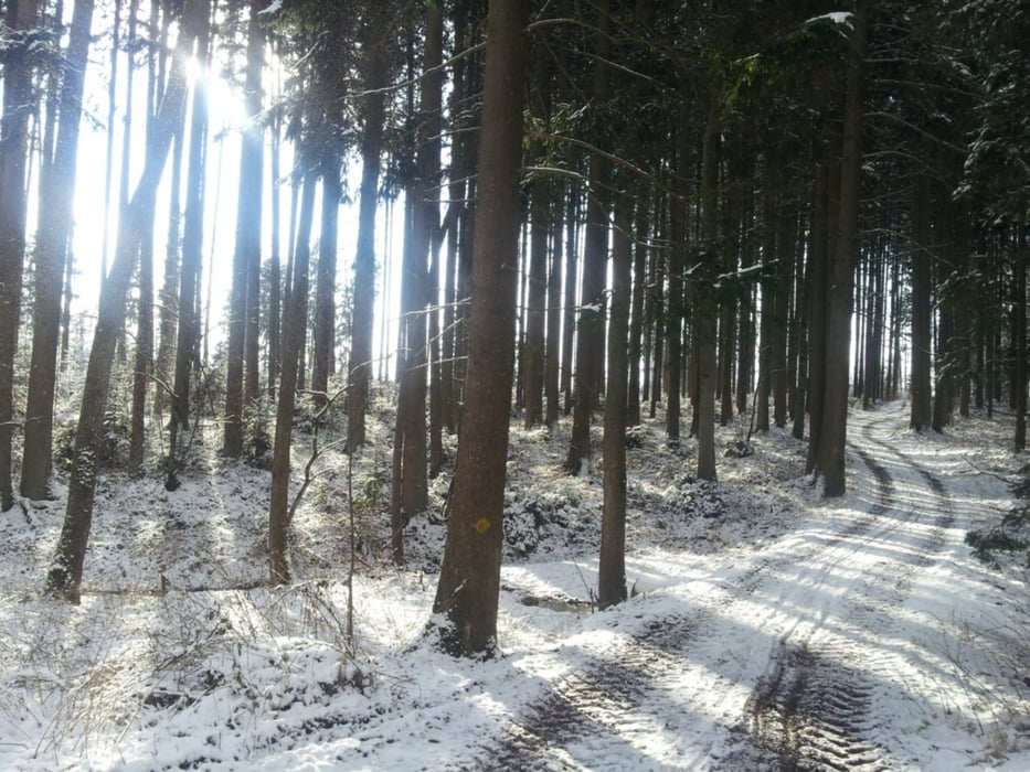
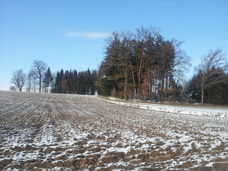
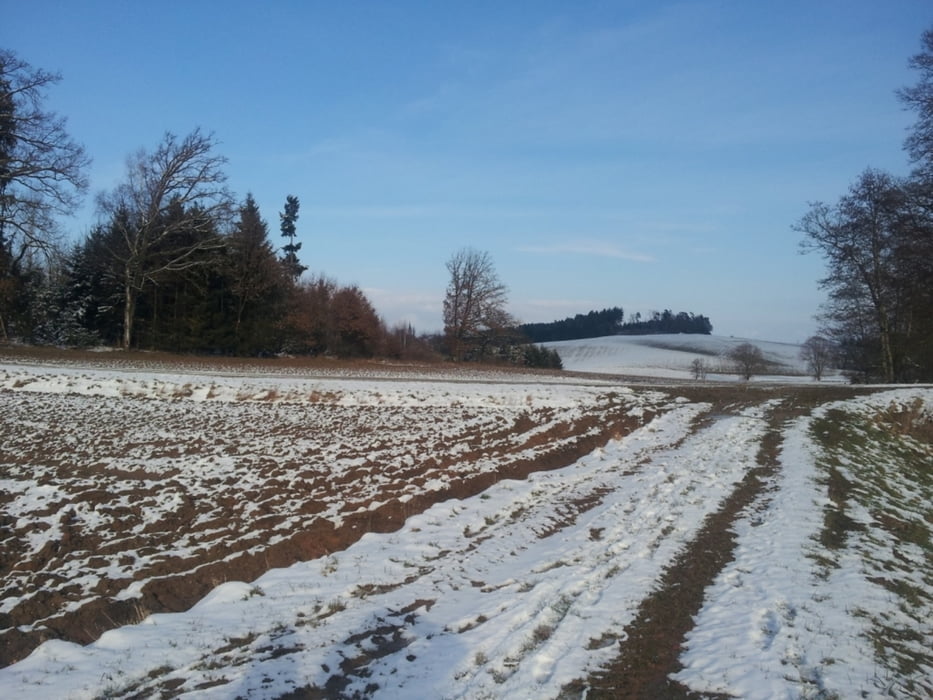
einfacher Wanderweg der in Indersdorf zu beginn an der Strasse entlang Richtung Westerholzhausen führt, dann links einbiegt Richtung Wald, dann grösstenteils gute Feldwege und gelegentlich gibt es sogar Bänke zum ausruhen, bei schönem Wetter Fernsicht bis in die Berge möglich. In Altomünster möglichkeit mit der "Lokalbahn" zurück nach Indersdorf zu fahren.

Galerija izletov

Zemljevid in višinski profil izleta

  • Open Street Map
  • Google
Minimum height 348 m Maximum height 535 m Prikaz podrobnosti

More about the tour author

biker42
Member since 2011

Send private message

Komentarji

In Indersdorf am Marktplatz starten (möglichkeit das Auto zu parken)

Poti GPS

Trackpoints
  • GPX / Garmin Map Source (gpx) download
  • TCX / Garmin Training Center® (tcx) download
  • CRS / Garmin Training Center® (crs) download
  • Google Earth (kml) download
  • G7ToWin (g7t) download
  • TTQV (trk) download
  • Overlay (ovl) download
  • Fugawi (txt) download
  • Kompass (DAV) Track (tk) download
  • List z izleti (pdf) download
  • Original file of the author (gpx) download

More about the tour author

biker42
Member since 2011

Send private message
Share track
Add to my favorites
Remove from my favorites
Edit tags
My score
Rate
Izlet: Indersdorf nach Altomünster
Vrsta: Pešačenje
Dolžina: 13,6 km
Evaluated on:
Trajanje:
Day(s)
Hour(s)
Minute(s)
Ocena: Pokrajina Dejavnik zabave Kondicija Tehnika