Login

Si pozabil/a podatke za prijavo?

Cookies have to be accepted!
Your browser's cookie functionality is disabled. Please enable this functionality.

Not a member yet?

Register now
Login

Available for registred users only

Log in to use this feature.

Si pozabil/a podatke za prijavo?

Cookies have to be accepted!
Your browser's cookie functionality is disabled. Please enable this functionality.

Not a member yet?

Register now
Filter
Kategorije
Advanced filters
  • Dolžina (km)
  • Metri nadmorske višine
Shrani filter Reset filter

TrackRank

QRCode

Technical data

Dolžina38,2 km Metri nadmorske višine890 m Way down886 m Trajanje03:21 h:m Datum28.01.2011
Ocene Author User Pokrajina Dejavnik zabave Kondicija Tehnika

Statistika

1104 Pogledi 2 Ocene 168 Prenosi 2.50 Povprečje
Rate
  • List z izleti
  • Prihod
  • Prenosi

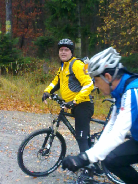
Eine Kombination der drei offiziellen Mountainbike-Strecken "Sauerbründl-Strecke", "Rosalien-Tour" und "Buma-Bia-Strecke". Start in Bad Sauerbrunn bei der FF, 400 Höhenmeter auf das Rosaliengebirge bis zum Schanikreuz, das Tal hinuter bis Frohsdorf, über das Ofenbachtal 400 Höhenmeter wieder hinauf aufs Rosaliagebirge, die Buma-Bia-Strecke über das Mittereck hinunter zur Burg Forchtenstein und über Wiesen zurück nach Bad Sauerbrunn.

Galerija izletov

Zemljevid in višinski profil izleta

  • Open Street Map
  • Google
Minimum height 261 m Maximum height 657 m Prikaz podrobnosti

More about the tour author

Radclub-Trumau
Member since 2011

Send private message

Komentarji

husky2 on 22.10.2017

Bewertung

War eine nette Tour bei der wir schöne Herbstwälder durchquerten. Für unseren Geschmack war für eine Mountainbiketour allerdings zu viel Asphalt (geschätzt 35%).

Trotzdem war es ein schöner Ausflug.

Poti GPS

Trackpoints
  • GPX / Garmin Map Source (gpx) download
  • TCX / Garmin Training Center® (tcx) download
  • CRS / Garmin Training Center® (crs) download
  • Google Earth (kml) download
  • G7ToWin (g7t) download
  • TTQV (trk) download
  • Overlay (ovl) download
  • Fugawi (txt) download
  • Kompass (DAV) Track (tk) download
  • List z izleti (pdf) download
  • Original file of the author (tcx) download

More about the tour author

Radclub-Trumau
Member since 2011

Send private message
Share track
Add to my favorites
Remove from my favorites
Edit tags
My score
Rate
Izlet: Rosaliagebirge
Vrsta: Gorsko kolo
Dolžina: 38,2 km
Evaluated on:
Trajanje:
Day(s)
Hour(s)
Minute(s)
Ocena: Pokrajina Dejavnik zabave Kondicija Tehnika