


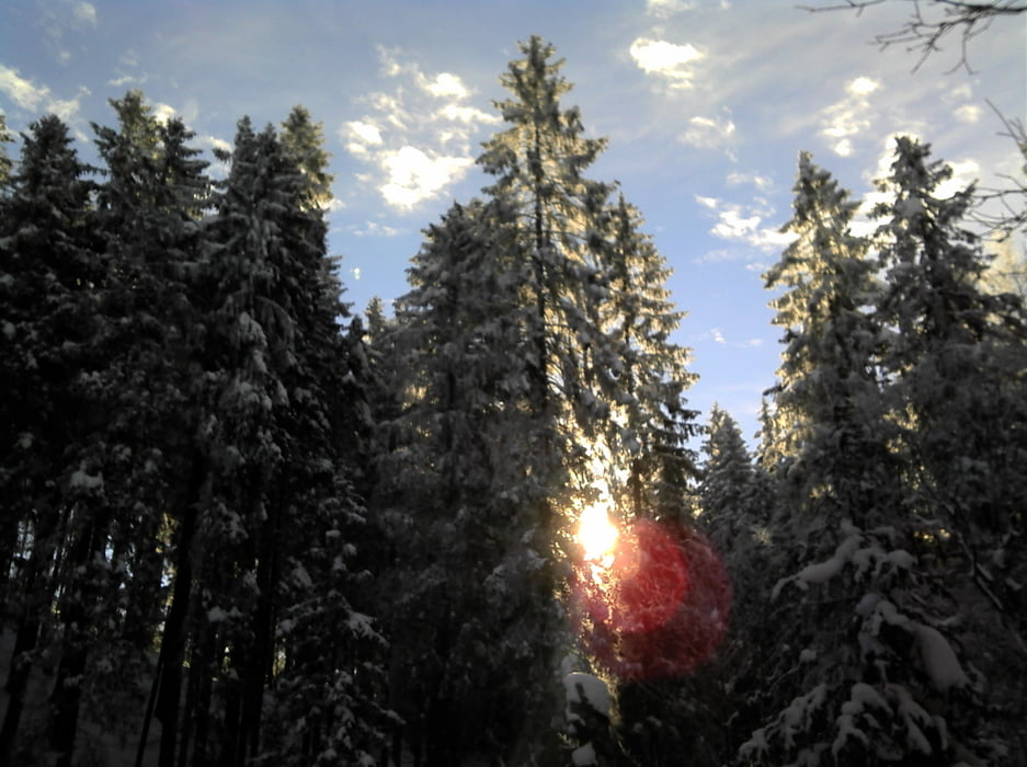
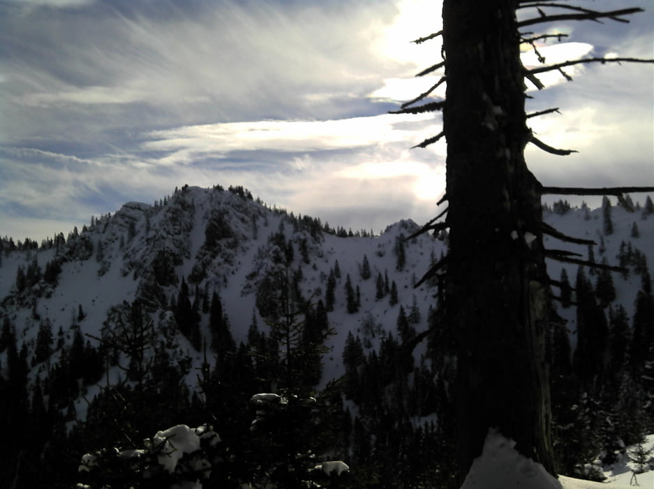
Der Forststraße Richtung Pürschling folgen, bis links eine steiler Weg abzweigt. Auf diesem geht es zuerst steil dann fast eben dahin, bis rechts Weg zu einer malerischen Alm abzweigt. Diesem an der Alm vorbei folgen und bei einem offen Hang hinauf auf den Rücken. Leicht unterhalb von diesem geht es zum Pürschlinghaus. Von dort nach oben, links vom Kamm teilweise ziemlich schwierig, bis man zu einer Rinne kommt, der man nach oben folgt. Dann nur noch Skidepot und die Gipfelaussicht auf quasi alle Gipfel der Ammergauer Alpen, das Wettersteingebirge und das Estergebirge.
Galerija izletov

Zemljevid in višinski profil izleta
Minimum height 868 m
Maximum height 1756 m
More about the tour author

|
florianlederer |
Komentarji

In Unterammergau an der Brücke auf die Pürschlingstraße, am Skilift parken.
Poti GPS
Trackpoints-
GPX / Garmin Map Source (gpx) download
-
TCX / Garmin Training Center® (tcx) download
-
CRS / Garmin Training Center® (crs) download
-
Google Earth (kml) download
-
G7ToWin (g7t) download
-
TTQV (trk) download
-
Overlay (ovl) download
-
Fugawi (txt) download
-
Kompass (DAV) Track (tk) download
-
List z izleti (pdf) download
-
Original file of the author (gpx) download
More about the tour author
|
|
florianlederer |
Add to my favorites
Remove from my favorites
Edit tags
Open track
My score
Rate