Login

Si pozabil/a podatke za prijavo?

Cookies have to be accepted!
Your browser's cookie functionality is disabled. Please enable this functionality.

Not a member yet?

Register now
Login

Available for registred users only

Log in to use this feature.

Si pozabil/a podatke za prijavo?

Cookies have to be accepted!
Your browser's cookie functionality is disabled. Please enable this functionality.

Not a member yet?

Register now
Filter
Kategorije
Advanced filters
  • Dolžina (km)
  • Metri nadmorske višine
Shrani filter Reset filter

TrackRank

QRCode

Technical data

Dolžina12,9 km Metri nadmorske višine704 m Way down1283 m Trajanje04:00 h:m Datum03.02.2011
Ocene Author Pokrajina Dejavnik zabave Kondicija Tehnika

Statistika

701 Pogledi Ocene 155 Prenosi Povprečje
Rate
  • List z izleti
  • Prihod
  • Prenosi

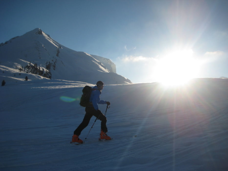
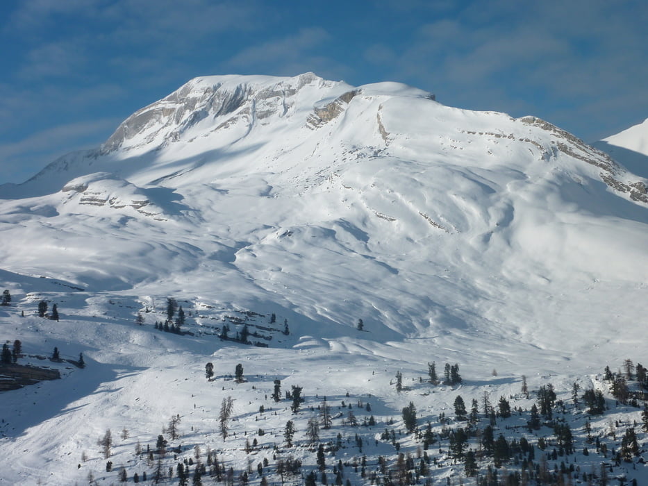
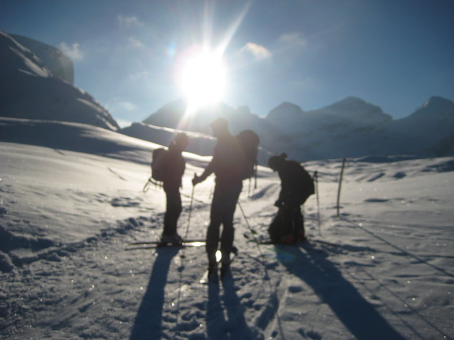
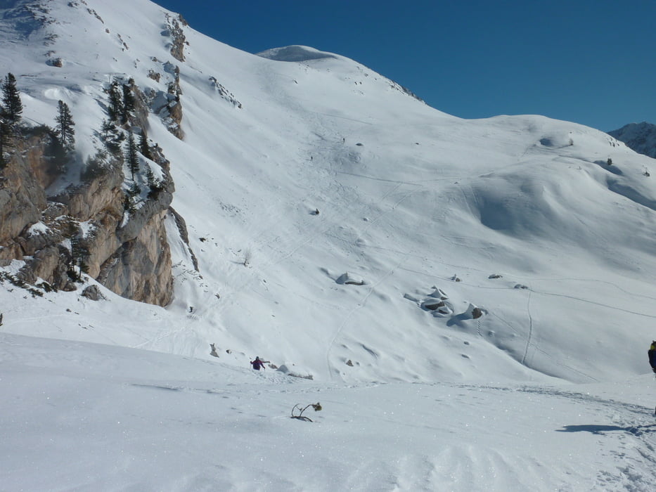
Von der Fanes Hütte Ücia de Fanes zum Limojoch aufsteigen und dann links vom Limosee die erste Steile Passage nach Osten aufsteigen , weiter über einen flachen Bergrücken der nach Süden Steil abfällt bis zu einem Kleinen Plateau. dann sieht mann schon den Gipfel und das Kreuz der Pareispitze von dem kleinen Vorgipfel rechts Queren zum Gipfelkreuz Abfahrt wie Aufstieg.

Galerija izletov

Zemljevid in višinski profil izleta

  • Open Street Map
  • Google
Minimum height 1503 m Maximum height 2804 m Prikaz podrobnosti

More about the tour author

markus-w
Member since 2010

Send private message

Komentarji

AB Insbruck über Brenner nach Brixen Gadertal , Zwischenwasser Pederü

Poti GPS

Trackpoints
  • GPX / Garmin Map Source (gpx) download
  • TCX / Garmin Training Center® (tcx) download
  • CRS / Garmin Training Center® (crs) download
  • Google Earth (kml) download
  • G7ToWin (g7t) download
  • TTQV (trk) download
  • Overlay (ovl) download
  • Fugawi (txt) download
  • Kompass (DAV) Track (tk) download
  • List z izleti (pdf) download
  • Original file of the author (gpx) download

More about the tour author

markus-w
Member since 2010

Send private message
Share track
Add to my favorites
Remove from my favorites
Edit tags
My score
Rate
Izlet: Fanes Pareispitze Col Beche de Sopra
Vrsta: Smuči
Dolžina: 12,9 km
Evaluated on:
Trajanje:
Day(s)
Hour(s)
Minute(s)
Ocena: Pokrajina Dejavnik zabave Kondicija Tehnika