

Kirchzell - Otterbach - Boxbrunn/Neidhof - Amorbach - Kirchzell
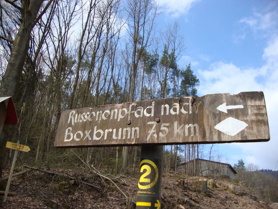
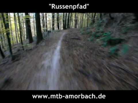
Der Startpunkt ist der Marktplatz in Kirchzell. Gleich zu Beginn ein steiler Anstieg über das Kirchzeller Wochenendgebiet, verläuft der Track über den Wolkmann hinab nach Otterbach. Dort Richtung Boxbrunn verläuft der Anstieg erst gemächlich, bevor auf halber strecke seine Steigungen erst richtig zur Geltung kommen. Am Neidhof vorbei, Richtung Parkplatz, bietet sich an, an der Parkplatz Hütte "Zwei Bild" eine Rast oder Vesper einzulegen, bevor es paralell der Hauptstraße leicht Bergab Richtung Traum und Spaßabfahrt Russenpfad geht. Unten am Amorbacher Parkplatz angekommen, fährt man durch die Amorbacher Stadt, am Seegarten vorbei auf den Fahrradweg Richtung Kirchzell, wo auch am Kirchzeller Marktplatz angekommen das Ende der Runde ist.
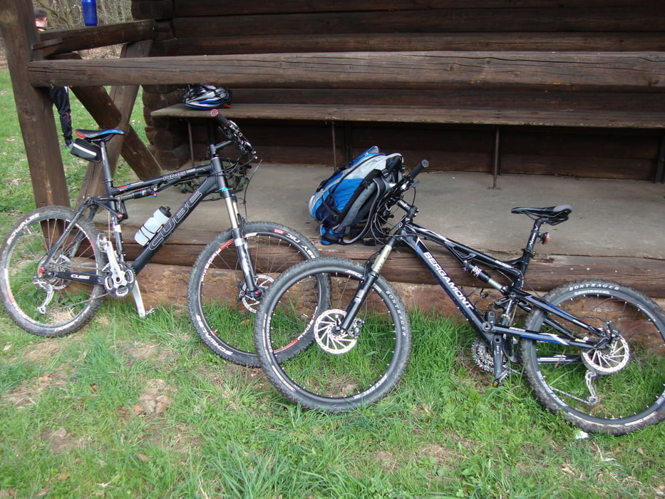
*Aufgepasst: Die Abfahrt Russenpfad nur für geübte und eine Schutzausstattung wie Helm, Handschuhe ect- sollte Grundvoraussetzung sein*
Galerija izletov
Zemljevid in višinski profil izleta
Minimum height 151 m
Maximum height 497 m
More about the tour author

|
Joker28 |
Komentarji

63931 Kirchzell, Marktplatz
Poti GPS
Trackpoints-
GPX / Garmin Map Source (gpx) download
-
TCX / Garmin Training Center® (tcx) download
-
CRS / Garmin Training Center® (crs) download
-
Google Earth (kml) download
-
G7ToWin (g7t) download
-
TTQV (trk) download
-
Overlay (ovl) download
-
Fugawi (txt) download
-
Kompass (DAV) Track (tk) download
-
List z izleti (pdf) download
-
Original file of the author (gpx) download
More about the tour author
|
|
Joker28 |
Add to my favorites
Remove from my favorites
Edit tags
Open track
My score
Rate