


Galerija izletov


Zemljevid in višinski profil izleta
Minimum height 197 m
Maximum height 794 m
More about the tour author
|
|
Danielsan |
Komentarji
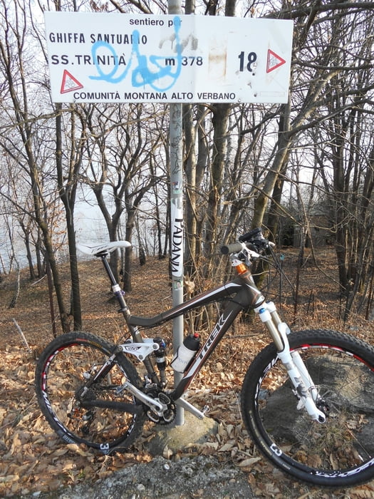
Poti GPS
Trackpoints-
GPX / Garmin Map Source (gpx) download
-
TCX / Garmin Training Center® (tcx) download
-
CRS / Garmin Training Center® (crs) download
-
Google Earth (kml) download
-
G7ToWin (g7t) download
-
TTQV (trk) download
-
Overlay (ovl) download
-
Fugawi (txt) download
-
Kompass (DAV) Track (tk) download
-
List z izleti (pdf) download
-
Original file of the author (gpx) download
More about the tour author
|
|
Danielsan |
Add to my favorites
Remove from my favorites
Edit tags
Open track
My score
Rate
Kommentar
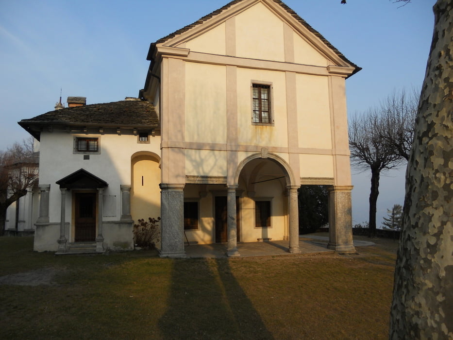
Sehr schöne Aussicht und Pause am Beginn der Höhenstrasse nach Pollino bei km 19 und am Santuario bei km 24.
Schön war auch die Küstenstrasse durch Verbania,
ABER: Die Auffahrt von km 0 bis 17 geschieht nur auf viel befahrenen Hauptstrassen. Es gibt hier viele angenehme Nebenstrassen ohne wesentlich mehr an Strecke. Empfehle hier vorher selbst zu planen!
Auffahrt 2017